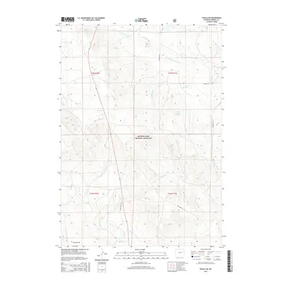
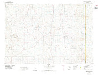
2015 Map of Teckla SW
USGS Topo · Published 2015About this map
Thunder Basin National Grassland dominates the landscape of this Campbell County survey, representing a significant portion of the High Plains ecosystem in northeastern Wyoming. The terrain is characterized by broad expanses like Antelope Flat, where numerous seasonal drainages including Porcupine Cr, Horse Cr, and Spring Cr dissect the prairie. This 2015 data reflects a sparsely populated ranching and conservation environment where human infrastructure is limited to essential thoroughfares like Matheson Rd and Reno-Douglas Rd. The presence of the FCR Detention Reservoir highlights the critical role of water management in this arid region. The map serves as a detailed record of land use and natural drainage patterns within the Thunder Basin, providing a clear view of the topography before any further shifts in land management or climate impacted the local hydrology.
Find a feature on this map
14 named features on this map. Tap any name to fly to it.
Don’t see what you’re looking for? This feature index may not catch every label — zoom into the map to look around manually.
Map Details
Editions of this 2015 Teckla SW Map
This is the sole edition of this map. No revisions or reprints were ever made.
Other maps of this area

1955 · Newcastle
USGS Topo · 1:250,000

1958 · Newcastle
USGS Topo · 1:250,000
1959 · Betty Reservoir
USGS Topo · 1:62,500
1959 · Coal Draw
USGS Topo · 1:62,500
1960 · Turnercrest
USGS Topo · 1:62,500
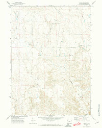
1971 · Teckla
USGS Topo · 1:24,000
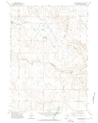
1971 · Reno Reservoir
USGS Topo · 1:24,000
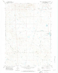
1971 · Little Thunder Reservoir
USGS Topo · 1:24,000
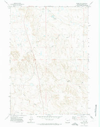
1971 · Teckla SW
USGS Topo · 1:24,000
1974 · Reno Junction
USGS Topo · 1:100,000