
1952 Map of Tectah Creek
USGS Topo · Published 1954About this map
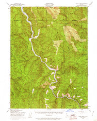
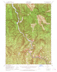
The Klamath River carves a deep, winding path through the heart of the Klamath Mountains, serving as the central artery for this mid-century landscape. Within the boundaries of the Hoopa Valley Indian Reservation and Six Rivers National Forest, the map reveals a remote network of riverside settlements and small prairies. Communities such as Johnsons and Cappell Flat are positioned along the riverbanks, while more isolated locations like Mc Covey Ranch and Blue Creek Lodge occupy the surrounding ridges and canyons.
Find a feature on this map
57 named features on this map. Tap any name to fly to it.
Don’t see what you’re looking for? This feature index may not catch every label — zoom into the map to look around manually.
Map Details
Editions of this 1952 Tectah Creek Map
3 editions found
Other maps of this area

1922 · Preston Peak
USGS Topo · 1:125,000

1925 · Hoopa
USGS Topo · 1:125,000

1929 · Crescent City
USGS Topo · 1:125,000

1945 · Ship Mountain
USGS Topo · 1:62,500

1945 · Orick
USGS Topo · 1:62,500

1945 · Trinidad
USGS Topo · 1:62,500

1945 · Coyote Peak
USGS Topo · 1:62,500

1945 · Requa
USGS Topo · 1:62,500

1945 · Tectah Creek
USGS Topo · 1:62,500

1948 · Weed
USGS Topo · 1:250,000