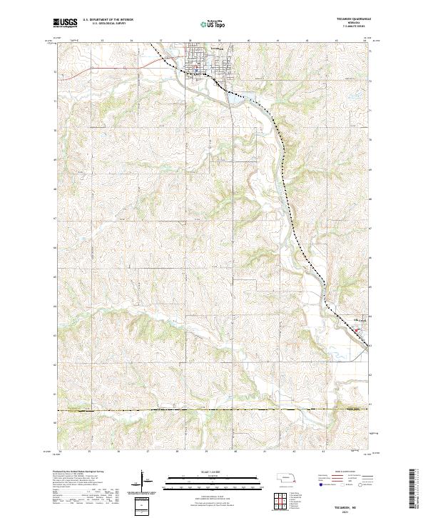
2021 Map of Tecumseh
USGS Topo · Published 2021About this map
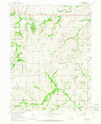
Tecumseh serves as the focal point of this Johnson County landscape, organized around a traditional street grid and the Johnson County Courthouse. The town is bordered by the North Fork Big Nemaha River, which meanders through the eastern portion of the quadrangle, joined by numerous tributaries including Badger Br and Town Br. Further south, the small community of Elk Creek sits near the crossing of the Elk Cr. The terrain is defined by a dense network of sectional roads, such as 720 RD marking the southern boundary with Pawnee County, and 725 RD cutting across the central hills. This modern survey reflects the enduring agricultural structure of the region, where numerous named branches like Carson Br and Todd Cr drain the rolling uplands into the Nemaha valley.
Find a feature on this map
31 named features on this map. Tap any name to fly to it.
Don’t see what you’re looking for? This feature index may not catch every label — zoom into the map to look around manually.
Map Details
Editions of this 2021 Tecumseh Map
This is the sole edition of this map. No revisions or reprints were ever made.
Other maps of this area

1955 · Lincoln
USGS Topo · 1:250,000

1957 · Lincoln
USGS Topo · 1:250,000

1958 · Lincoln
USGS Topo · 1:250,000

1965 · Burchard
USGS Topo · 1:24,000

1965 · Table Rock
USGS Topo · 1:24,000

1965 · Tecumseh
USGS Topo · 1:24,000
1965 · Steinauer
USGS Topo · 1:24,000
1965 · Tecumseh SE
USGS Topo · 1:24,000
1965 · Tecumseh NW
USGS Topo · 1:24,000
1965 · Vesta
USGS Topo · 1:24,000