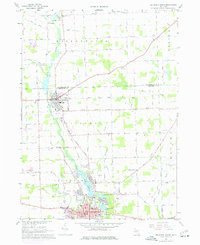
1967 Map of Tecumseh North
USGS Topo · Published 1977About this map
The River Raisin defines the central valley of this agricultural landscape as it flows through the industrial and residential hubs of Tecumseh and Clinton. The map reveals a robust mid-century transportation and industrial network, with the Penn Central and Norfolk and Western railroads intersecting at the southern edge of the quadrangle. Local industry is anchored by the Tecumseh Products Co Airport and numerous extraction sites, including various Gravel Pits and a Sandpit found near the riverbanks.
Find a feature on this map
85 named features on this map. Tap any name to fly to it.
Don’t see what you’re looking for? This feature index may not catch every label — zoom into the map to look around manually.
Map Details
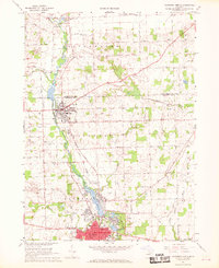
Editions of this 1967 Tecumseh North Map
2 editions found
Other maps of this area

1904 · Ann Arbor
USGS Topo · 1:125,000

1906 · Saline
USGS Topo · 1:62,500

1908 · Ann Arbor
USGS Topo · 1:125,000

1939 · Blissfield
USGS Topo · 1:62,500

1941 · Blissfield
USGS Topo · 1:62,500

1948 · Manchester
USGS Topo · 1:62,500

1949 · Manchester
USGS Topo · 1:62,500

1953 · Fort Wayne
USGS Topo · 1:250,000

1954 · Detroit
USGS Topo · 1:250,000

1956 · Fort Wayne
USGS Topo · 1:250,000