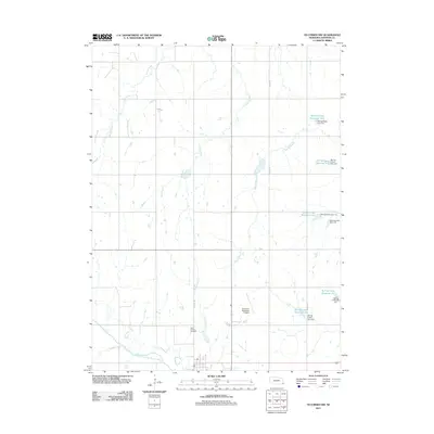
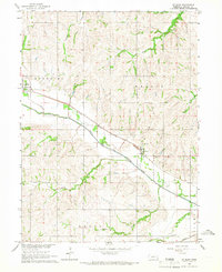
2011 Map of Tecumseh NW
USGS Topo · Published 2011About this map
The North Fork Big Nemaha River carves through the southern edge of this Johnson County landscape, joined by numerous tributaries including Yankee Creek and Logan Branch. This 2011 survey reveals an agricultural terrain meticulously managed by a network of water controls, specifically the Spring Creek watershed. Numerous reservoirs such as Spring Creek Reservoir 10-1 and Spring Creek Reservoir 8-A are held by engineered structures like Spring Creek Dam 7-B, illustrating the modern rural infrastructure required for flood control and irrigation.
Find a feature on this map
23 named features on this map. Tap any name to fly to it.
Don’t see what you’re looking for? This feature index may not catch every label — zoom into the map to look around manually.
Map Details
Editions of this 2011 Tecumseh NW Map
This is the sole edition of this map. No revisions or reprints were ever made.
Other maps of this area

1903 · Weeping Water
USGS Topo · 1:125,000

1929 · Weeping Water
USGS Topo · 1:125,000

1955 · Lincoln
USGS Topo · 1:250,000

1957 · Lincoln
USGS Topo · 1:250,000

1958 · Lincoln
USGS Topo · 1:250,000

1965 · Tecumseh
USGS Topo · 1:24,000
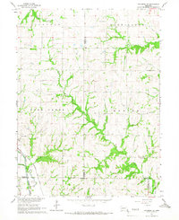
1965 · Tecumseh SE
USGS Topo · 1:24,000
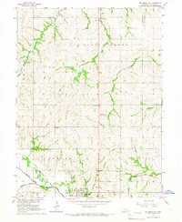
1965 · Tecumseh NW
USGS Topo · 1:24,000
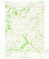
1965 · Vesta
USGS Topo · 1:24,000
1965 · St. Mary
USGS Topo · 1:24,000