
2014 Map of Tecumseh NW
USGS Topo · Published 2014About this map
Saint Andrews Cem and the northern outskirts of Tecumseh anchor the southern edge of this Johnson County landscape. The terrain is defined by a dendritic network of waterways, including Turkey Cr, Coon Cr, and Manns Br, which flow toward the North Fork Big Nemaha River and Yankee Cr in the south. The agricultural character of the region is evident in the precise grid of section roads like 736th Rd and 618th Ave that partition the rolling hills. Numerous flood control structures, such as Spring Cr Reservoir 10-1 and Spring Cr Reservoir 8-A, are scattered across the northeast and southeast, reflecting modern water management practices in the Nebraska prairie. Tecumseh Municipal Airport sits just north of the city center, marking the intersection of rural heritage and infrastructure.
Find a feature on this map
35 named features on this map. Tap any name to fly to it.
Don’t see what you’re looking for? This feature index may not catch every label — zoom into the map to look around manually.
Map Details
Editions of this 2014 Tecumseh NW Map
This is the sole edition of this map. No revisions or reprints were ever made.
Other maps of this area

1903 · Weeping Water
USGS Topo · 1:125,000

1929 · Weeping Water
USGS Topo · 1:125,000

1955 · Lincoln
USGS Topo · 1:250,000

1957 · Lincoln
USGS Topo · 1:250,000

1958 · Lincoln
USGS Topo · 1:250,000

1965 · Tecumseh
USGS Topo · 1:24,000
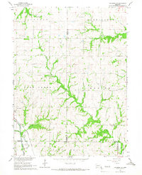
1965 · Tecumseh SE
USGS Topo · 1:24,000
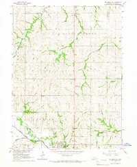
1965 · Tecumseh NW
USGS Topo · 1:24,000
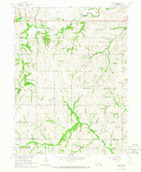
1965 · Vesta
USGS Topo · 1:24,000
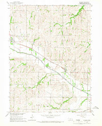
1965 · St. Mary
USGS Topo · 1:24,000