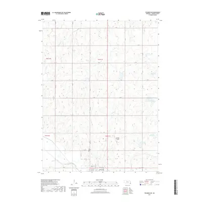
2017 Map of Tecumseh NW
USGS Topo · Published 2017About this map
Tecumseh serves as the focal point of this Johnson County landscape, situated at the confluence of several small waterways and the broader North Fork Big Nemaha River. The area’s geography is defined by a dense network of creek branches and agricultural management features, including a series of specialized impoundments like Spring Cr Reservoir 10-1 and Spring Cr Reservoir 8-1. These reservoirs and the surrounding drainage patterns of Yankee Cr, Coon Cr, and Turkey Cr illustrate the region's long-standing reliance on water management for its prairie-based economy.
Find a feature on this map
30 named features on this map. Tap any name to fly to it.
Don’t see what you’re looking for? This feature index may not catch every label — zoom into the map to look around manually.
Map Details
Editions of this 2017 Tecumseh NW Map
This is the sole edition of this map. No revisions or reprints were ever made.
Other maps of this area
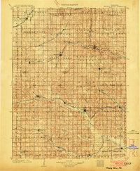
1903 · Weeping Water
USGS Topo · 1:125,000
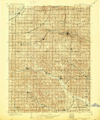
1929 · Weeping Water
USGS Topo · 1:125,000
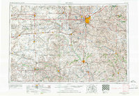
1955 · Lincoln
USGS Topo · 1:250,000
1957 · Lincoln
USGS Topo · 1:250,000
1958 · Lincoln
USGS Topo · 1:250,000
1965 · Tecumseh
USGS Topo · 1:24,000
1965 · Tecumseh SE
USGS Topo · 1:24,000
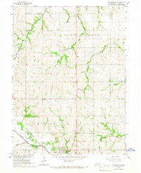
1965 · Tecumseh NW
USGS Topo · 1:24,000
1965 · Vesta
USGS Topo · 1:24,000
1965 · St. Mary
USGS Topo · 1:24,000