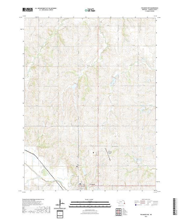
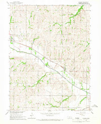
2021 Map of Tecumseh NW
USGS Topo · Published 2021About this map
Tecumseh sits at the southern edge of this landscape, positioned where several vital waterways converge. The town is flanked by Logan Br and Town Br, which flow southward to join the North Fork Big Nemaha River. This drainage system is a defining characteristic of the region, with numerous tributaries like Turkey Cr, Coon Cr, and Yankee Cr carving through the Johnson County terrain. The survey captures the intersection of early transportation and modern utility, showing the route of Old Hwy 50 passing near Saint Andrews Cem. To the northeast, a series of water management features including Spring Cr Reservoir 10-1 and Spring Cr Reservoir 8-1 illustrate the engineered landscape designed to manage the watershed surrounding the Tecumseh Municipal Airport.
Find a feature on this map
37 named features on this map. Tap any name to fly to it.
Don’t see what you’re looking for? This feature index may not catch every label — zoom into the map to look around manually.
Map Details
Editions of this 2021 Tecumseh NW Map
This is the sole edition of this map. No revisions or reprints were ever made.
Other maps of this area

1903 · Weeping Water
USGS Topo · 1:125,000

1929 · Weeping Water
USGS Topo · 1:125,000

1955 · Lincoln
USGS Topo · 1:250,000

1957 · Lincoln
USGS Topo · 1:250,000

1958 · Lincoln
USGS Topo · 1:250,000

1965 · Tecumseh
USGS Topo · 1:24,000
1965 · Tecumseh SE
USGS Topo · 1:24,000
1965 · Tecumseh NW
USGS Topo · 1:24,000
1965 · Vesta
USGS Topo · 1:24,000
1965 · St. Mary
USGS Topo · 1:24,000