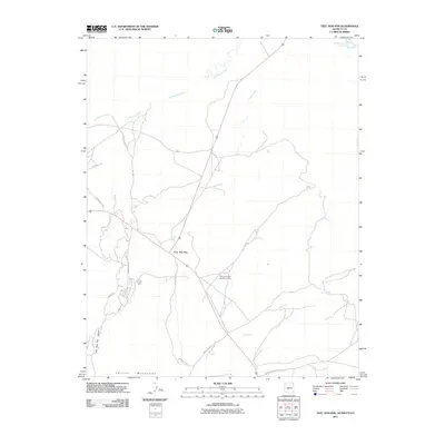
2011 Map of Teec Nos Pos
USGS Topo · Published 2011About this map
Teec Nos Pos serves as a central hub in this high-desert landscape near the Four Corners, where the convergence of Arizona, New Mexico, and Utah defines the regional geography. The settlement is positioned at the junction of several critical thoroughfares, including Indian Service Route 5113 and Bia 5059, which facilitate travel through the vast drainage basins of the Tohache Wash and Salt Wash. To the south, the terrain rises into the Corrizo Mountains, while the San Juan River brushes the northern edge of the quadrangle.
Find a feature on this map
20 named features on this map. Tap any name to fly to it.
Don’t see what you’re looking for? This feature index may not catch every label — zoom into the map to look around manually.
Map Details
Editions of this 2011 Teec Nos Pos Map
2 editions found
Other maps of this area

1886 · Abajo
USGS Topo · 1:250,000

1889 · Chaco
USGS Topo · 1:250,000

1892 · Abajo
USGS Topo · 1:250,000

1892 · Chaco
USGS Topo · 1:250,000

1892 · Canyon De Chelly
USGS Topo · 1:250,000

1893 · Abajo
USGS Topo · 1:250,000

1934 · Rattlesnake
USGS Topo · 1:62,500

1937 · Rattlesnake
USGS Topo · 1:62,500

1953 · Pastora Peak SW
USGS Topo · 1:24,000

1953 · Pastora Peak NW
USGS Topo · 1:24,000
Featured Places
- Shiprock Agency
- Teec Nos Pos, Shiprock Agency
- San Juan County, NM
- Apache County, AZ
- Montezuma County, CO