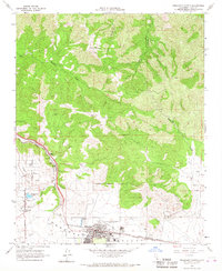
1966 Map of Tehachapi North
USGS Topo · Published 1967About this map
The Tehachapi Valley serves as a critical junction for infrastructure and agriculture in the mid-1960s, defined by the major rail corridor of the Atchison Topeka and Santa Fe Southern Pacific. This survey captures the core of Tehachapi, where local education and community life center on St Malachys Sch, Wells Sch, and the High Sch. To the west, the label for Old Town and a nearby Historical Monument mark the area's earlier roots near Tom Sawyer Lake. The landscape transitions from the developed valley floor, home to the Tehachapi-Kern County Airport No 4, into the steep drainages of Hog Canyon and Tailgate Canyon. Resource extraction is evident in the numerous Quarries dotting the eastern slopes, while the Tailgate Lookout Tower stands watch over the rugged northern high ground.
Find a feature on this map
34 named features on this map. Tap any name to fly to it.
Don’t see what you’re looking for? This feature index may not catch every label — zoom into the map to look around manually.
Map Details
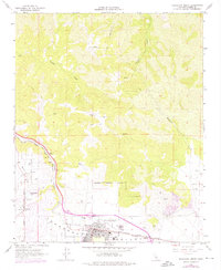
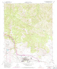
Editions of this 1966 Tehachapi North Map
3 editions found
Other maps of this area

1914 · Caliente
USGS Topo · 1:125,000

1915 · Mojave
USGS Topo · 1:125,000

1943 · Tehachapi
USGS Topo · 1:62,500

1943 · Emerald Mtn
USGS Topo · 1:62,500

1943 · Cummings Mountain
USGS Topo · 1:62,500

1943 · Breckenridge Mountain
USGS Topo · 1:62,500

1948 · Bakersfield
USGS Topo · 1:250,000

1955 · Bakersfield
USGS Topo · 1:250,000

1956 · Bakersfield
USGS Topo · 1:250,000

1960 · Bakersfield
USGS Topo · 1:250,000