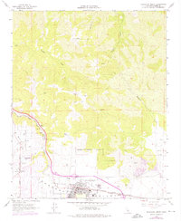
1966 Map of Tehachapi North
USGS Topo · Published 1976About this map
Tehachapi Valley serves as a vital mountain pass where the Atchison Topeka and Santa Fe and Southern Pacific railroads converge. The map documents the mid-century footprint of Tehachapi, including the Tehachapi-Kern County Airport No 4 and local educational institutions like St Malachys Sch and the High Sch. To the west, the settlement of Old Town and the developing residential area of Golden Hills are visible, the latter featuring a Golf Course and several canyon-named drives.
Find a feature on this map
33 named features on this map. Tap any name to fly to it.
Don’t see what you’re looking for? This feature index may not catch every label — zoom into the map to look around manually.
Map Details
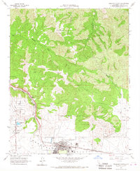
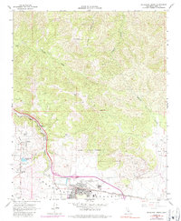
Editions of this 1966 Tehachapi North Map
3 editions found
Other maps of this area

1914 · Caliente
USGS Topo · 1:125,000

1915 · Mojave
USGS Topo · 1:125,000

1943 · Tehachapi
USGS Topo · 1:62,500

1943 · Emerald Mtn
USGS Topo · 1:62,500

1943 · Cummings Mountain
USGS Topo · 1:62,500

1943 · Breckenridge Mountain
USGS Topo · 1:62,500

1948 · Bakersfield
USGS Topo · 1:250,000

1955 · Bakersfield
USGS Topo · 1:250,000

1956 · Bakersfield
USGS Topo · 1:250,000

1960 · Bakersfield
USGS Topo · 1:250,000