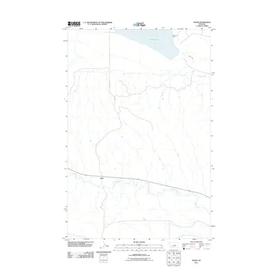
2011 Map of Teigen
USGS Topo · Published 2011About this map
Teigen stands at the intersection of early twentieth-century ranching life and the expansive drainage systems of central Montana. This 2011 survey highlights the sparse settlement pattern of Petroleum County, where the small community of Teigen is defined by its proximity to the winding course of McDonald Creek. To the north, the landscape is anchored by the waters of War Horse Lake and the engineered structure of Warhorse Dam, which manage the seasonal flows in an arid environment. The map details the intricate network of coulees and draws that feed into Buffalo Creek, illustrating the complex hydrology necessary for survival in this high-plains region. The presence of these specific water management features alongside the primary settlement provides a clear record of the area's essential infrastructure at the start of the 2010s.
Find a feature on this map
5 named features on this map. Tap any name to fly to it.
Don’t see what you’re looking for? This feature index may not catch every label — zoom into the map to look around manually.
Map Details
Editions of this 2011 Teigen Map
This is the sole edition of this map. No revisions or reprints were ever made.
Other maps of this area

1954 · Roundup
USGS Topo · 1:250,000

1954 · Lewistown
USGS Topo · 1:250,000

1958 · Roundup
USGS Topo · 1:250,000

1959 · Lewistown
USGS Topo · 1:250,000

1986 · Snoose Creek
USGS Topo · 1:24,000

1986 · Wild Horse Lake
USGS Topo · 1:24,000

1986 · Briggs Coulee
USGS Topo · 1:24,000

1986 · Dry Blood Creek West
USGS Topo · 1:24,000

1986 · Teigen NW
USGS Topo · 1:24,000

1986 · Milk Springs
USGS Topo · 1:24,000