
1903 Map of Tejon
USGS Topo · Published 1903About this map
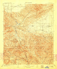
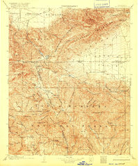
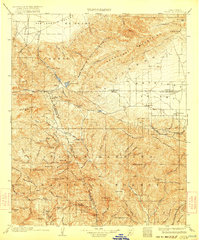
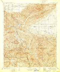
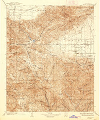
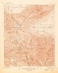
Old Fort Tejon stands as a landmark of mid-century frontier history at the edge of the San Joaquin Valley, marking a critical juncture where the Tehachapi Mountains meet the high desert. This 1903 survey captures the rugged corridor of the Tejon Pass, a vital transit point connecting the southern valley to the Antelope Valley. The landscape is defined by the expansive Pine Mountain Forest Reserve, where early industrial footprints are visible at the Frazier Mine and Castaic Mine. Small, isolated settlements like Lebec, Gorman, and Neenach follow the natural geography of the canyons and flats, while Elizabeth Lake and Castaic Lake serve as rare water sources in this arid terrain. The map meticulously documents the convergence of Kern, Los Angeles, and Ventura counties, showing the early ranching and mining infrastructure that preceded the region's modern development.
Find a feature on this map
61 named features on this map. Tap any name to fly to it.
Don’t see what you’re looking for? This feature index may not catch every label — zoom into the map to look around manually.
Map Details
Editions of this 1903 Tejon Map
7 editions found
Other maps of this area

1900 · Fernando
USGS Topo · 1:62,500

1900 · Piru
USGS Topo · 1:62,500

1901 · Southern California Sheet No. 1
USGS Topo · 1:250,000

1903 · Santa Paula
USGS Topo · 1:62,500

1903 · Mt. Pinos
USGS Topo · 1:125,000

1903 · Camulos
USGS Topo · 1:125,000

1903 · Santa Susana
USGS Topo · 1:62,500

1904 · Southern California Sheet No. 1
USGS Topo · 1:250,000

1910 · Buena Vista Lake
USGS Topo · 1:125,000

1912 · Buena Vista Lake
USGS Topo · 1:125,000