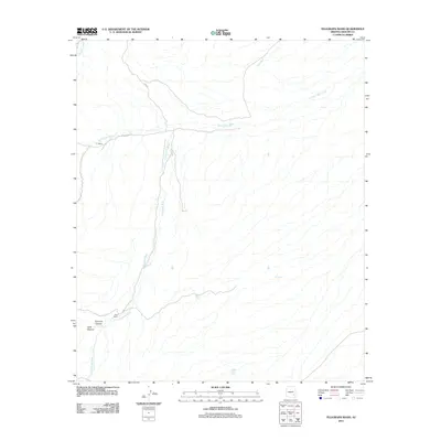
2011 Map of Telegraph Wash
USGS Topo · Published 2011About this map
Telegraph Wash defines the drainage patterns of this Graham County landscape, where desert watercourses and ranching outposts mark the terrain. The central waterway of Telegraph Wash is joined by Black Rock Wash and Fine Wash, creating a network of ephemeral streams that dictate the placement of local infrastructure. Evidence of cattle ranching and land use is visible at Y L Ranch and Pace Ranch, both situated near these essential drainage routes. Further south, the topography deepens into Fourmile Canyon and Dark Canyon, highlighting the geological transitions of the region. Access through the area is maintained via Indian Rte 20 and Rte 30, which follow the natural contours between isolated water sources like VJ Tank and Middle Point Tank.
Find a feature on this map
12 named features on this map. Tap any name to fly to it.
Don’t see what you’re looking for? This feature index may not catch every label — zoom into the map to look around manually.
Map Details
Editions of this 2011 Telegraph Wash Map
This is the sole edition of this map. No revisions or reprints were ever made.
Other maps of this area

1944 · Jackson Mtn.
USGS Topo · 1:62,500

1946 · Jackson Mtn.
USGS Topo · 1:62,500

1954 · Silver City
USGS Topo · 1:250,000

1954 · Clifton
USGS Topo · 1:250,000

1954 · Mesa
USGS Topo · 1:250,000

1956 · Tucson
USGS Topo · 1:250,000

1957 · Mesa
USGS Topo · 1:250,000

1957 · Clifton
USGS Topo · 1:250,000

1958 · Silver City
USGS Topo · 1:250,000

1958 · Clifton
USGS Topo · 1:250,000