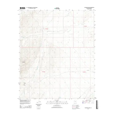
2014 Map of Telegraph Wash
USGS Topo · Published 2014About this map
The Santa Teresa Mountains dominate the western landscape of this Graham County region, where steep drainages like Fourmile Canyon and Dark Canyon carve into the high ground. The area is defined by its complex network of ephemeral watercourses, including the prominent north-south corridor of Telegraph Wash and the meandering Black Rock Wash. These washes represent the primary geographical features of the basin floor, serving as the conduits for seasonal runoff and historical movement through this arid environment. Sparse infrastructure is limited to ranch-related roads and livestock water sources, such as Middle Point Tank and V1 Tank, which underscore the region's long-standing connection to cattle ranching. The presence of ET Ranch Rd and W Klondyke Rd indicates the established routes used to navigate this rugged terrain, while family-named features like Tripp and Underwood Wash hint at the local history and early land use in the Gila River valley vicinity.
Find a feature on this map
17 named features on this map. Tap any name to fly to it.
Don’t see what you’re looking for? This feature index may not catch every label — zoom into the map to look around manually.
Map Details
Editions of this 2014 Telegraph Wash Map
This is the sole edition of this map. No revisions or reprints were ever made.
Other maps of this area
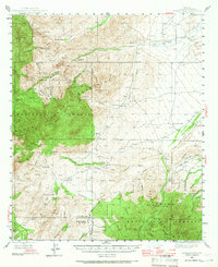
1944 · Jackson Mtn.
USGS Topo · 1:62,500
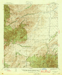
1946 · Jackson Mtn.
USGS Topo · 1:62,500

1954 · Silver City
USGS Topo · 1:250,000

1954 · Clifton
USGS Topo · 1:250,000
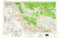
1954 · Mesa
USGS Topo · 1:250,000
1956 · Tucson
USGS Topo · 1:250,000
1957 · Mesa
USGS Topo · 1:250,000

1957 · Clifton
USGS Topo · 1:250,000

1958 · Silver City
USGS Topo · 1:250,000

1958 · Clifton
USGS Topo · 1:250,000