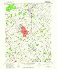
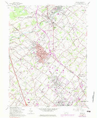
1960 Map of Telford
USGS Topo · Published 1963About this map
Souderton and Telford form a dense urban core on the border of Bucks and Montgomery Counties, with the Reading railroad corridor driving the region's mid-century development. The surrounding landscape is defined by a dense grid of named rural roads, including Allentown Road and Cowpath Road, which connect historic hamlets like Franconia and Elroy. This 1960 revision provides a clear record of local institutions before the full onset of suburbanization, featuring numerous religious and educational landmarks such as the Schwenkfelder Ch, St Pauls Cem, and Pennridge Jr High Sch.
Find a feature on this map
150 named features on this map. Tap any name to fly to it.
Don’t see what you’re looking for? This feature index may not catch every label — zoom into the map to look around manually.
Map Details
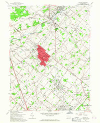
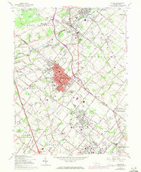
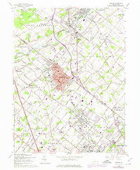
Editions of this 1960 Telford Map
5 editions found
Other maps of this area

1888 · Quakertown
USGS Topo · 1:62,500

1890 · Doylestown
USGS Topo · 1:62,500

1890 · Quakertown
USGS Topo · 1:62,500

1891 · Doylestown
USGS Topo · 1:62,500

1893 · Germantown
USGS Topo · 1:62,500

1894 · Quakertown
USGS Topo · 1:62,500

1894 · Norristown
USGS Topo · 1:62,500

1894 · Germantown
USGS Topo · 1:62,500

1895 · Norristown
USGS Topo · 1:62,500

1896 · Germantown
USGS Topo · 1:62,500