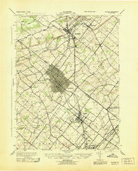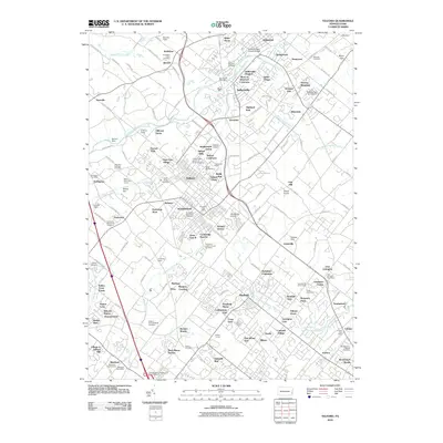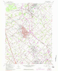
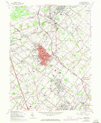
1960 Map of Telford
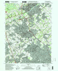
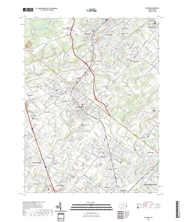
USGS Topo · Published 1983About this map
Souderton and Telford stand as the central industrial and residential hubs of this Montgomery and Bucks County landscape during the mid-20th century. The Reading railroad corridor acts as the primary spine of development, connecting these towns with nearby Sellersville, Hatfield, and the northern edge of Lansdale. The map captures a moment of postwar expansion, where traditional agricultural townships like Franconia and Hilltown begin to see new residential clusters and trailer parks appearing alongside long-established rural institutions.
Find a feature on this map
77 named features on this map. Tap any name to fly to it.
Don’t see what you’re looking for? This feature index may not catch every label — zoom into the map to look around manually.
Map Details
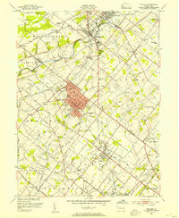
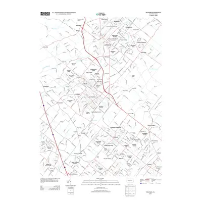
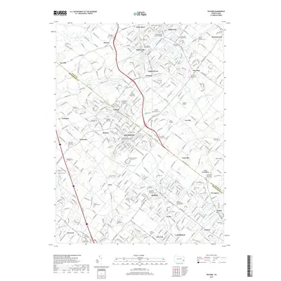
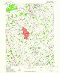
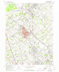
Editions of this 1960 Telford Map
5 editions found
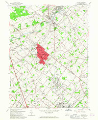
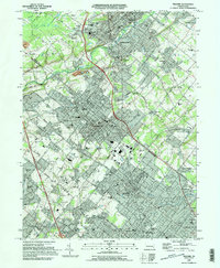
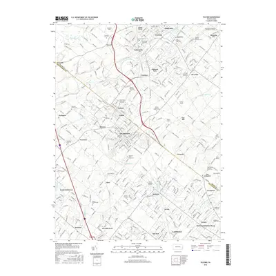
Historical Maps of Franconia Township Through Time
10 maps found