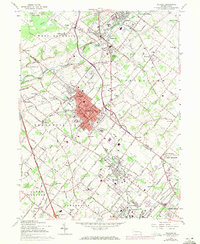
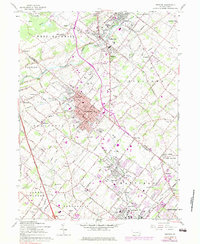
1960 Map of Telford
USGS Topo · Published 1971About this map
Souderton and Telford form a dense urban corridor at the heart of this survey, which straddles the Bucks and Montgomery County line. The Reading railroad serves as the spine of industrial and residential growth, connecting these core boroughs to Sellersville, Perkasie, and Lansdale. Outside the developed centers, the landscape retains a strong agricultural character, marked by many rural landmarks such as Jerusalem Union Church and the Schwenkfelder Church.
Find a feature on this map
97 named features on this map. Tap any name to fly to it.
Don’t see what you’re looking for? This feature index may not catch every label — zoom into the map to look around manually.
Map Details
Editions of this 1960 Telford Map
5 editions found
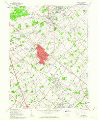
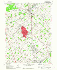
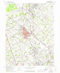
Other maps of this area

1888 · Quakertown
USGS Topo · 1:62,500

1890 · Doylestown
USGS Topo · 1:62,500

1890 · Quakertown
USGS Topo · 1:62,500

1891 · Doylestown
USGS Topo · 1:62,500

1893 · Germantown
USGS Topo · 1:62,500

1894 · Quakertown
USGS Topo · 1:62,500

1894 · Norristown
USGS Topo · 1:62,500

1894 · Germantown
USGS Topo · 1:62,500

1895 · Norristown
USGS Topo · 1:62,500

1896 · Germantown
USGS Topo · 1:62,500