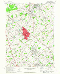
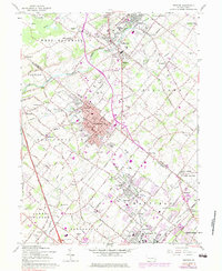
1960 Map of Telford
USGS Topo · Published 1967About this map
The Reading railroad corridor serves as the industrial and social spine of this landscape, connecting the dense borough centers of Souderton and Telford. This 1960 revision reflects the post-war transition of Bucks and Montgomery counties, where established textile and manufacturing towns began to meet the expanding reach of the Pennsylvania Turnpike Northeast Extension. Outside the urban cores, the map detail preserves a dense network of Pennsylvania German heritage, evidenced by numerous rural meeting houses and burial grounds like the Schwenkfelder Ch, Little Zion Ch, and St Pauls Cem. Moving away from the rail lines, the terrain transitions into the agricultural reaches of Franconia and Hatfield, where smaller crossroads like Elroy and Mainland maintain their traditional footprints amidst the first signs of suburban infrastructure, such as the sewage disposal plants and newly designated parks like Highland Park.
Find a feature on this map
81 named features on this map. Tap any name to fly to it.
Don’t see what you’re looking for? This feature index may not catch every label — zoom into the map to look around manually.
Map Details
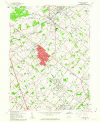
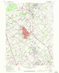
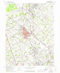
Editions of this 1960 Telford Map
5 editions found
Other maps of this area

1888 · Quakertown
USGS Topo · 1:62,500

1890 · Doylestown
USGS Topo · 1:62,500

1890 · Quakertown
USGS Topo · 1:62,500

1891 · Doylestown
USGS Topo · 1:62,500

1893 · Germantown
USGS Topo · 1:62,500

1894 · Quakertown
USGS Topo · 1:62,500

1894 · Norristown
USGS Topo · 1:62,500

1894 · Germantown
USGS Topo · 1:62,500

1895 · Norristown
USGS Topo · 1:62,500

1896 · Germantown
USGS Topo · 1:62,500