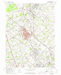
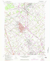
1960 Map of Telford
USGS Topo · Published 1975About this map
Souderton and Telford anchor this detailed landscape at a time of significant transition between rural Pennsylvania farmland and suburban expansion. The Reading railroad corridor serves as the industrial spine through the heart of these boroughs, while the Northeast Extension PA Turnpike and Interchange 31 at Mainland mark the arrival of modern regional connectivity. This mid-century survey captures the density of localized institutions, such as the Home for the Aged and numerous denominational landmarks like the Schwenkfelder Ch and Jerusalem Union Ch. Outside the boroughs, the map reveals a network of traditional schoolhouses and cemeteries including St Michaels Cem and the Hilltown Sch, set against the winding courses of Perkiomen Creek and Neshaminy Creek. The northern reaches are characterized by the preserved acreage of State Game Lands No 196 near Ridge Valley.
Find a feature on this map
67 named features on this map. Tap any name to fly to it.
Don’t see what you’re looking for? This feature index may not catch every label — zoom into the map to look around manually.
Map Details
Editions of this 1960 Telford Map
5 editions found
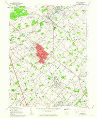
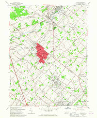
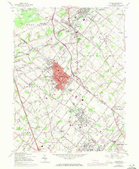
Other maps of this area

1888 · Quakertown
USGS Topo · 1:62,500

1890 · Doylestown
USGS Topo · 1:62,500

1890 · Quakertown
USGS Topo · 1:62,500

1891 · Doylestown
USGS Topo · 1:62,500

1893 · Germantown
USGS Topo · 1:62,500

1894 · Quakertown
USGS Topo · 1:62,500

1894 · Norristown
USGS Topo · 1:62,500

1894 · Germantown
USGS Topo · 1:62,500

1895 · Norristown
USGS Topo · 1:62,500

1896 · Germantown
USGS Topo · 1:62,500