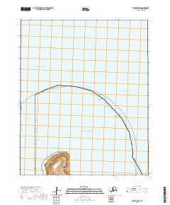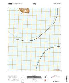
2020 Map of Teller D-8 OE S NW
USGS Topo · Published 2020About this map
The settlement of Diomede sits at the edge of the Bering Strait on the Diomede Islands, representing one of the most remote human habitations in the United States. This 2020 survey illustrates the isolation of the island within the Alaska Maritime National Wildlife Refuge, where the boundary between the Chukchi Sea and the Arctic Ocean meets. Further south, the lonely outcrop of Fairway Rock rises from the strait. The map provides a precise view of the terrain and coastlines of these islands during the early 21st century, showing the intersection of maritime geography and small-scale settlement in a region defined by extreme northern conditions.
Find a feature on this map
9 named features on this map. Tap any name to fly to it.
Don’t see what you’re looking for? This feature index may not catch every label — zoom into the map to look around manually.
Map Details
Editions of this 2020 Teller D-8 OE S NW Map
This is the sole edition of this map. No revisions or reprints were ever made.