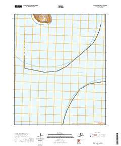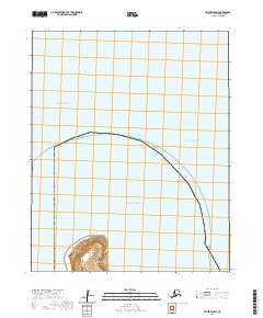
2020 Map of Teller D-8 SW
USGS Topo · Published 2020About this map
Diomede occupies the steep, rocky slopes of Little Diomede Island, standing as one of the most isolated settlements in the United States. This remote village is situated at the edge of the Bering Strait, where the international date line and the maritime border with Russia are nearby. The landscape is dominated by the intersection of three major water bodies: the Arctic Ocean to the north, the Chukchi Sea to the west, and the Bering Strait to the east. The terrain of the Diomede Islands is characterized by sharp elevation changes rising directly from the sea, emphasizing the extreme geography of this frontier region. This map illustrates the unique intersection of international maritime boundaries and indigenous Arctic life in the early 21st century.
Find a feature on this map
6 named features on this map. Tap any name to fly to it.
Don’t see what you’re looking for? This feature index may not catch every label — zoom into the map to look around manually.
Map Details
Editions of this 2020 Teller D-8 SW Map
This is the sole edition of this map. No revisions or reprints were ever made.