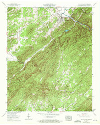
1957 Map of Tellico Plains
USGS Topo · Published 1972About this map
Tellico Plains serves as the gateway to the Cherokee National Forest, situated at the confluence of the Tellico River and the mountain foothills during the mid-1950s. The landscape is defined by its deep connectivity between remote settlements and small-scale industry, evidenced by the Quarry near Tellico Lake and the Conasauga Mill on the Conasauga River. Local life is recorded through numerous family landmarks and rural institutions, including the Payne Station Sch and the Rural Vale Sch.
Find a feature on this map
57 named features on this map. Tap any name to fly to it.
Don’t see what you’re looking for? This feature index may not catch every label — zoom into the map to look around manually.
Map Details
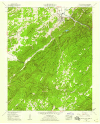
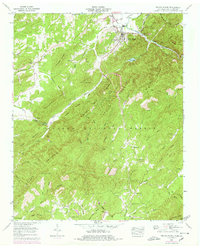
Editions of this 1957 Tellico Plains Map
3 editions found
Other maps of this area

1893 · Murphy
USGS Topo · 1:125,000

1914 · Murphy
USGS Topo · 1:125,000

1933 · Haw Knob
USGS Topo · 1:48,000

1933 · Bald River Falls
USGS Topo · 1:24,000

1933 · Rafter
USGS Topo · 1:24,000

1934 · Mount Vernon
USGS Topo · 1:24,000

1934 · Mecca
USGS Topo · 1:24,000

1934 · Unaka
USGS Topo · 1:24,000

1934 · Englewood
USGS Topo · 1:24,000

1934 · Murphy
USGS Topo · 1:48,000