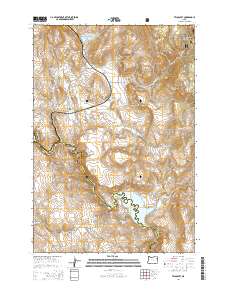
2014 Map of Telocaset
USGS Topo · Published 2014About this map
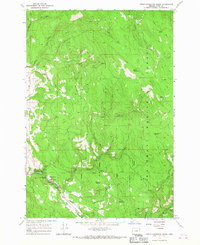
The small settlement of Telocaset sits at the foot of Telocaset Hill, marking a significant pass through the high country where the local rail and road infrastructure converges. This high-altitude landscape is defined by the transition between the Whitman National Forest in the northeast and the open ranching country to the southwest. Water management is a central theme of the geography, with the Powder River feeding into the Thief Valley Reservoir near the community of Thief Valley. These reservoirs, including Pyles Canyon Reservoir Number Two, illustrate the vital role of irrigation and water storage in the arid basins between Riverdale Hill and Clark Mountain. The map also captures the administrative divide along the Union County and Baker County line, tracing a path through the diverse terrain of Antelope Valley and Government Gulch.
Find a feature on this map
34 named features on this map. Tap any name to fly to it.
Don’t see what you’re looking for? This feature index may not catch every label — zoom into the map to look around manually.
Map Details
Editions of this 2014 Telocaset Map
This is the sole edition of this map. No revisions or reprints were ever made.
Other maps of this area
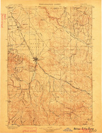
1901 · Baker City
USGS Topo · 1:125,000
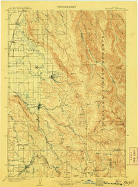
1906 · Telocaset
USGS Topo · 1:125,000

1955 · Baker
USGS Topo · 1:250,000
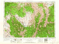
1955 · Grangeville
USGS Topo · 1:250,000

1959 · Baker
USGS Topo · 1:250,000
1959 · Grangeville
USGS Topo · 1:250,000
1965 · Union
USGS Topo · 1:24,000
1965 · Medical Springs
USGS Topo · 1:24,000
1965 · North Powder
USGS Topo · 1:24,000
1965 · Little Catherine Creek
USGS Topo · 1:24,000