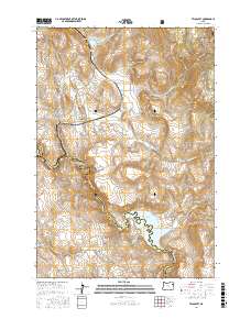
2017 Map of Telocaset
USGS Topo · Published 2017About this map
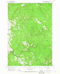
Telocaset sits at a geographic transition where the high desert meets the forested uplands of Eastern Oregon. This 2017 survey by the U.S. Geological Survey details a landscape defined by water management and high-country grazing, centered on the Thief Valley Reservoir which dams the Powder River along the Union Co Baker Co line. The terrain rises sharply to the northeast into the Whitman National Forest toward Clark Mtn, while to the west, the topography is carved by names like Pyles Canyon and Government Gulch. Local water sources such as Lynch Spring, Foley Spring, and Glass Spring dot the hillsides, indicating the essential role of hydrology in this dry environment. The presence of Telocaset Hill and Riverdale Hill overlooks a network of rural roads including Thief Valley Rd and Railroad Dr, tracing the path of transit through the valley floor.
Find a feature on this map
31 named features on this map. Tap any name to fly to it.
Don’t see what you’re looking for? This feature index may not catch every label — zoom into the map to look around manually.
Map Details
Editions of this 2017 Telocaset Map
This is the sole edition of this map. No revisions or reprints were ever made.
Other maps of this area
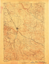
1901 · Baker City
USGS Topo · 1:125,000
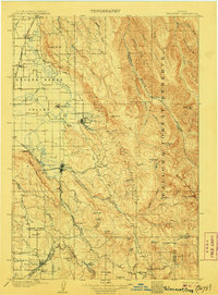
1906 · Telocaset
USGS Topo · 1:125,000

1955 · Baker
USGS Topo · 1:250,000
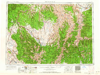
1955 · Grangeville
USGS Topo · 1:250,000

1959 · Baker
USGS Topo · 1:250,000
1959 · Grangeville
USGS Topo · 1:250,000
1965 · Union
USGS Topo · 1:24,000
1965 · Medical Springs
USGS Topo · 1:24,000
1965 · North Powder
USGS Topo · 1:24,000
1965 · Little Catherine Creek
USGS Topo · 1:24,000