
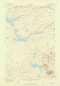
1957 Map of Telos Lake
USGS Topo · Published 1960About this map
Chamberlain Lake and Telos Lake dominate this wilderness landscape in Northern Maine, revealing a complex network of waterways once vital to the logging industry. The presence of Telos Dam and the Eagle Lake Tote Road reflects the region's history as a timber production hub where water levels were managed for driving logs. Further south, the map details the rugged transition into protected lands, clearly marking the Baxter State Park Boundary. High points like the Burnt Mtn Lookout Tower and Center Mtn overlook numerous bogs and smaller water bodies, including Thissell Pond and Little Nesowadnehunk Lake. The isolated Camp Phoenix remains a solitary outpost in this remote terrain, providing a look at mid-century backcountry settlement and sporting camp culture in the North Woods.
Find a feature on this map
64 named features on this map. Tap any name to fly to it.
Don’t see what you’re looking for? This feature index may not catch every label — zoom into the map to look around manually.
Map Details
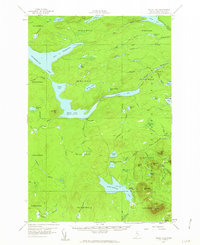
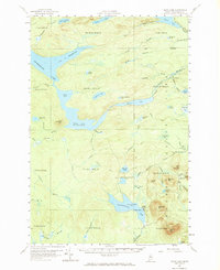
Editions of this 1957 Telos Lake Map
4 editions found
Other maps of this area

1927 · Katahdin
USGS Topo · 1:48,000

1930 · Katahdin
USGS Topo · 1:62,500

1949 · Katahdin
USGS Topo · 1:62,500

1953 · Telos Lake
USGS Topo · 1:62,500

1954 · Chesuncook
USGS Topo · 1:62,500

1954 · Spider Lake
USGS Topo · 1:62,500

1954 · Churchill Lake
USGS Topo · 1:62,500

1954 · Grant Farm
USGS Topo · 1:62,500

1954 · Harrington Lake
USGS Topo · 1:62,500

1954 · Millinocket Lake
USGS Topo · 1:62,500