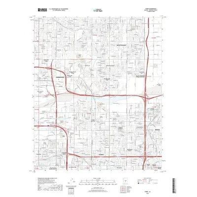
2018 Map of Tempe
USGS Topo · Published 2018About this map
The Salt River corridor anchors this detailed urban survey, where the convergence of Phoenix, Scottsdale, Tempe, and Mesa reveals the complex industrial and educational heart of the Salt River Valley. The landscape is defined by its vital water infrastructure, including the Arizona Canal, Cross Cut Canal, and Western Canal, which cut through the grid of modern development. Landmarks like Papago Buttes and the Governor Hunt Tomb rise above the suburban sprawl, while the sprawling campus of Arizona State Univ and the logistics hub of Phoenix Sky Harbor International Airport dominate the local geography.
Find a feature on this map
80 named features on this map. Tap any name to fly to it.
Don’t see what you’re looking for? This feature index may not catch every label — zoom into the map to look around manually.
Map Details
Editions of this 2018 Tempe Map
This is the sole edition of this map. No revisions or reprints were ever made.
Other maps of this area

1904 · Camelback
USGS Topo · 1:62,500

1906 · Camelsback
USGS Topo · 1:62,500

1912 · Phoenix
USGS Topo · 1:62,500

1913 · Mesa
USGS Topo · 1:62,500

1914 · Phoenix
USGS Topo · 1:62,500

1915 · Mesa
USGS Topo · 1:62,500

1930 · Cave Creek
USGS Topo · 1:125,000

1939 · Cave Creek
USGS Topo · 1:125,000

1952 · Tempe
USGS Topo · 1:24,000

1952 · Chandler
USGS Topo · 1:24,000