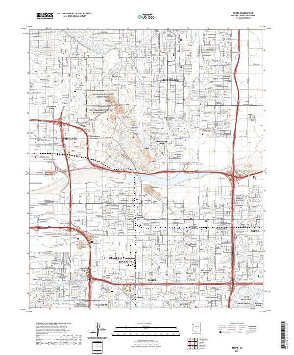
2021 Map of Tempe
USGS Topo · Published 2021About this map
Phoenix, Scottsdale, and Tempe converge in this densely detailed look at the East Valley, where the historical lifeblood of the Salt River meets modern urban expansion. The central landscape is defined by the striking geology of the Papago Buttes, featuring landmarks like Hole in the Rock and the Governor Hunt Tomb. This area serves as a significant cultural and educational hub, anchored by the sprawling campus of Arizona State University and numerous specialized institutions such as Rio Salado Community College and Gateway Community College.
Find a feature on this map
73 named features on this map. Tap any name to fly to it.
Don’t see what you’re looking for? This feature index may not catch every label — zoom into the map to look around manually.
Map Details
Editions of this 2021 Tempe Map
This is the sole edition of this map. No revisions or reprints were ever made.
Other maps of this area

1904 · Camelback
USGS Topo · 1:62,500

1906 · Camelsback
USGS Topo · 1:62,500

1912 · Phoenix
USGS Topo · 1:62,500

1913 · Mesa
USGS Topo · 1:62,500

1914 · Phoenix
USGS Topo · 1:62,500

1915 · Mesa
USGS Topo · 1:62,500

1930 · Cave Creek
USGS Topo · 1:125,000

1939 · Cave Creek
USGS Topo · 1:125,000

1952 · Tempe
USGS Topo · 1:24,000

1952 · Chandler
USGS Topo · 1:24,000