Loading...
Loading map...2022 Map of Temple
USGS Topo · Published 2022About this map
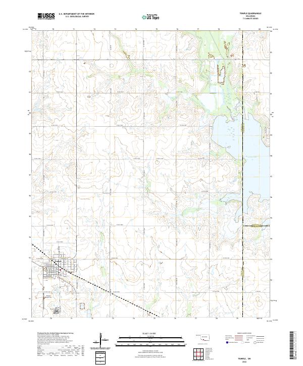
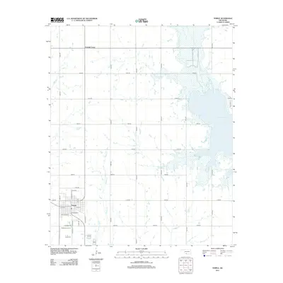
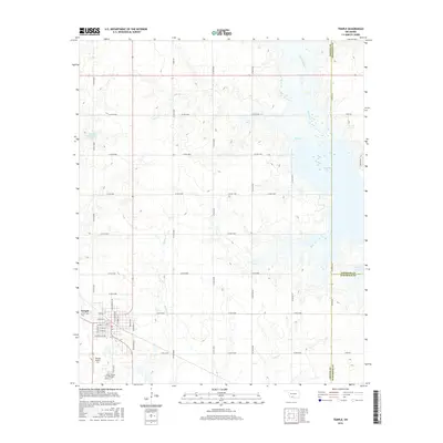
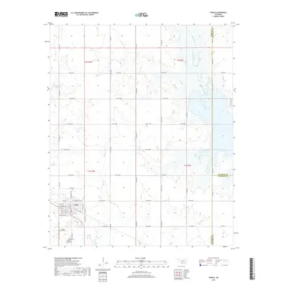
Temple serves as the primary hub in this corner of Cotton County, defined by a grid of residential streets like W Main St and Central St. The town sits at a transit crossroads where the local road network meets the agrarian landscape, with the Temple Cem situated just south of the main settlement. The surrounding terrain is heavily influenced by the presence of Waurika Lake to the east, which transforms the drainage patterns of Beaver Creek and Little Beaver Cr.
Find a feature on this map
44 named features on this map. Tap any name to fly to it.
Don’t see what you’re looking for? This feature index may not catch every label — zoom into the map to look around manually.
Map Details
Date Portrayed2022
Date Published2022
PublisherU.S. Geological Survey
Map TypeTopographic
Scale1:24,000
Physical Dimensions24 x 29 inches
Editions of this 2022 Temple Map
This is the sole edition of this map. No revisions or reprints were ever made.
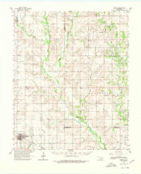
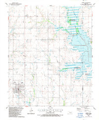
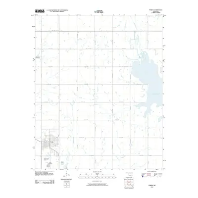
Historical Maps of Temple Through Time
7 maps found
Featured Locations
Source Details
SourceU.S. Geological Survey
CopyrightPublic Domain