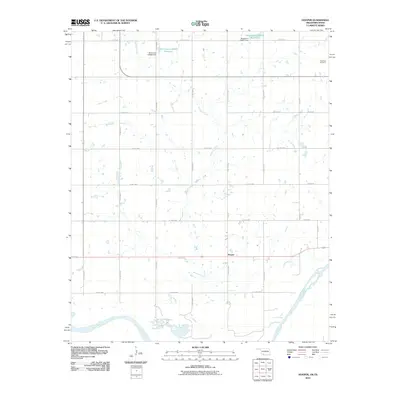
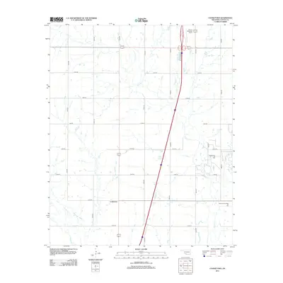
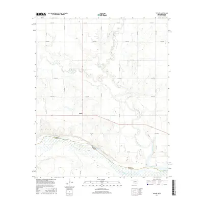
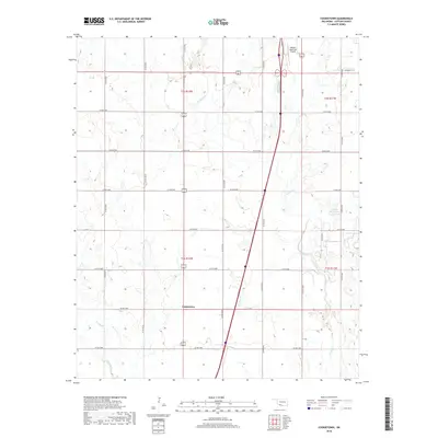
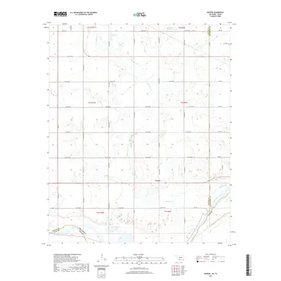
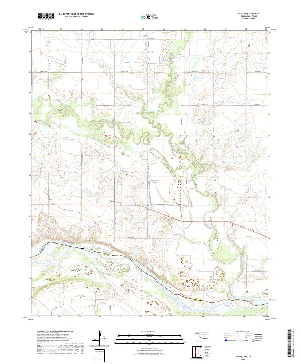
1985 Map of Taylor
USGS Topo · Published 1985About this map
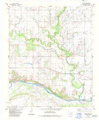
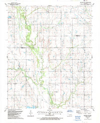
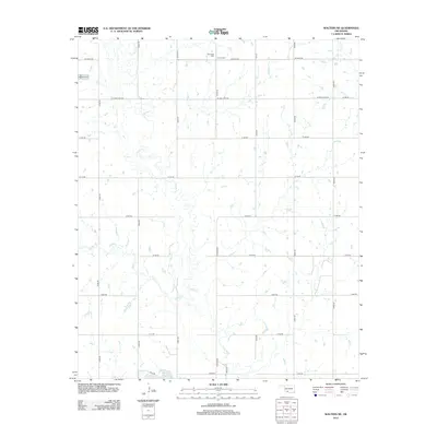
The Red River marks the southern extent of this landscape, defining the state boundary between Oklahoma and Texas. Near the center of this survey, the settlement of Taylor serves as a local landmark amidst a terrain defined by its watercourses and petroleum industry. The northern reaches are dominated by the West Cache Creek Oil Field, where numerous drill holes and wells point to the region's mid-century economic focus. The hydrology is complex, featuring the convergence of West Cache Creek and East Cache Creek into the larger Cache Creek, which winds its way toward the river through Cotton County. Small-scale industrial activity is further indicated by scattered Gravel Pits and the presence of Bird Cr in the southwest corner.
Find a feature on this map
12 named features on this map. Tap any name to fly to it.
Don’t see what you’re looking for? This feature index may not catch every label — zoom into the map to look around manually.
Map Details
Editions of this 1985 Taylor Map
This is the sole edition of this map. No revisions or reprints were ever made.
Historical Maps of Taylor Through Time
36 maps found
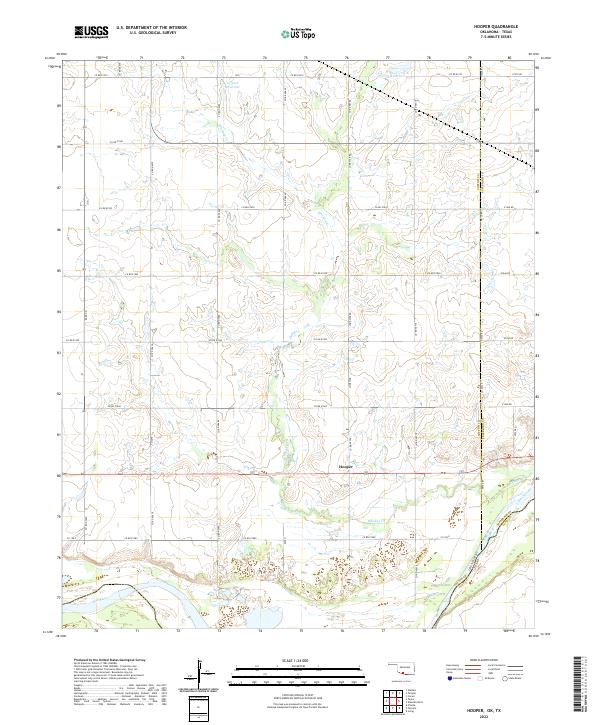
1984 Hooper
Cotton County, OK
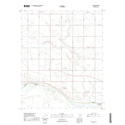
1985 Taylor
Cotton County, OK
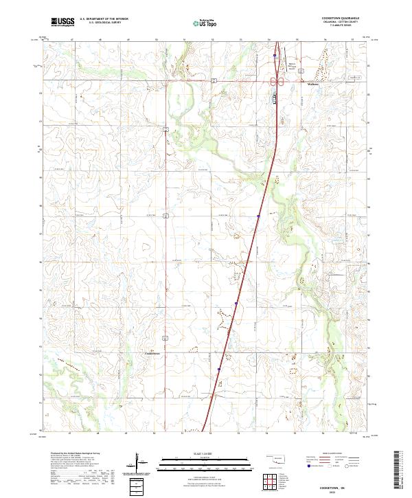
1987 Cookietown
Cotton County, OK
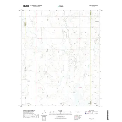
1987 Temple NW
Cotton County, OK
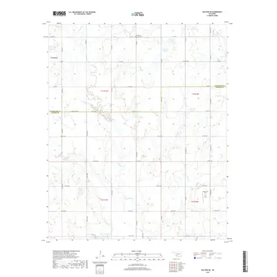
1987 Walters NE
Cotton County, OK
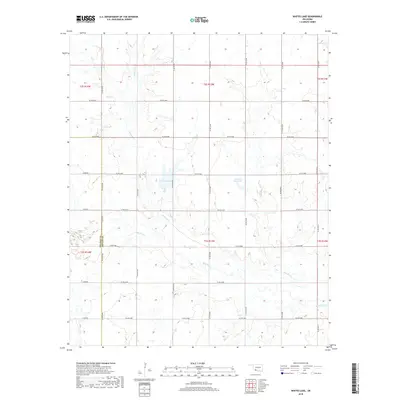
1987 Whites Lake
Cotton County, OK
2009 Cookietown
Cotton County, OK
2009 Walters NE
Cotton County, OK
2010 Hooper
Cotton County, OK
2010 Taylor
Cotton County, OK
2010 Temple NW
Cotton County, OK
2010 Whites Lake
Cotton County, OK
2012 Cookietown
Cotton County, OK
2012 Hooper
Cotton County, OK
2012 Taylor
Cotton County, OK
2012 Temple NW
Cotton County, OK
2012 Walters NE
Cotton County, OK
2012 Whites Lake
Cotton County, OK
2016 Cookietown
Cotton County, OK
2016 Hooper
Cotton County, OK
2016 Taylor
Cotton County, OK
2016 Temple NW
Cotton County, OK
2016 Walters NE
Cotton County, OK
2016 Whites Lake
Cotton County, OK
2018 Cookietown
Cotton County, OK
2018 Temple NW
Cotton County, OK
2018 Walters NE
Cotton County, OK
2018 Whites Lake
Cotton County, OK
2019 Hooper
Cotton County, OK
2019 Taylor
Cotton County, OK
2022 Cookietown
Cotton County, OK
2022 Hooper
Cotton County, OK
2022 Taylor
Cotton County, OK
2022 Temple NW
Cotton County, OK
2022 Walters NE
Cotton County, OK
2022 Whites Lake
Cotton County, OK