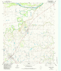
1984 Map of Petrolia
USGS Topo · Published 1985About this map
The confluence of the Wichita River and the Red River defines this northern Texas landscape along the Oklahoma-Texas border. In the early 1980s, the region was characterized by the sprawling Oil Field operations concentrated near Petrolia and the agricultural community of Byers. The map documents the intricate network of Oil Wells and a prominent Old Railroad Grade that once connected these settlements to the wider market. Water management is evident through features like City Lake, the Filtration Plant, and a Water Tank near the town center of Byers. Local history is anchored by the Riverside Cemetery, the Benvenue Cem, and another unnamed Cemetery near Petrolia. To the west, the rise of Pumpkin Ridge overlooks the wandering channel of Hay Creek, while the northeast corner shows the winding Indefinite Boundary of the Red River between Cotton Co. and Clay Co..
Find a feature on this map
21 named features on this map. Tap any name to fly to it.
Don’t see what you’re looking for? This feature index may not catch every label — zoom into the map to look around manually.
Map Details
Editions of this 1984 Petrolia Map
This is the sole edition of this map. No revisions or reprints were ever made.
Other maps of this area

1954 · Wichita Falls
USGS Topo · 1:250,000

1955 · Lawton
USGS Topo · 1:250,000

1956 · Henrietta
USGS Topo · 1:62,500

1957 · Hastings
USGS Topo · 1:62,500

1957 · Randlett
USGS Topo · 1:62,500

1957 · Wichita Falls East
USGS Topo · 1:62,500

1958 · Wichita Falls
USGS Topo · 1:250,000
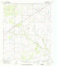
1972 · Dean
USGS Topo · 1:24,000
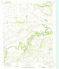
1972 · Charlie
USGS Topo · 1:24,000

1984 · Hooper
USGS Topo · 1:24,000