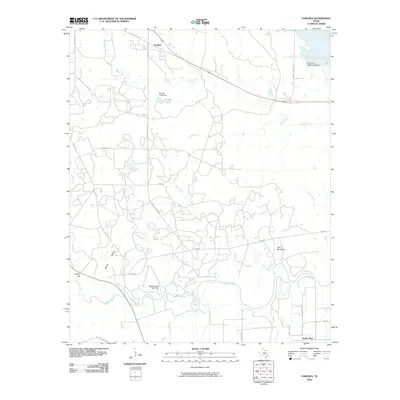
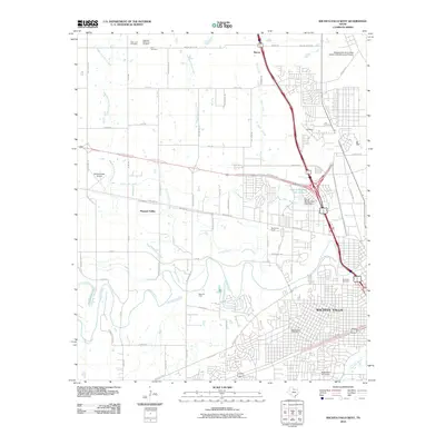
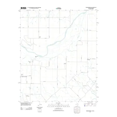
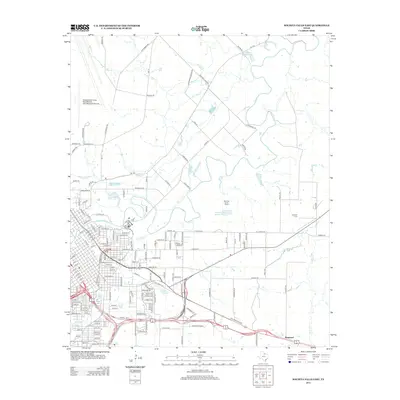
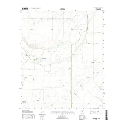
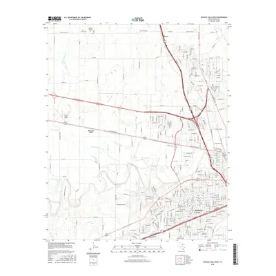
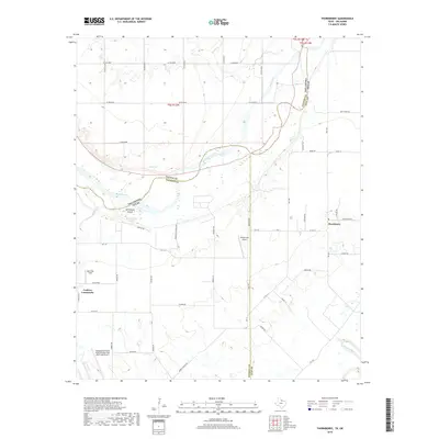
1972 Map of Thornberry
USGS Topo · Published 1975About this map
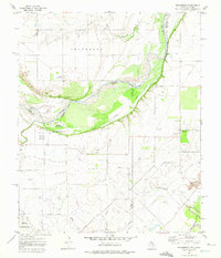
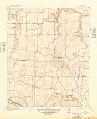
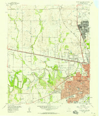
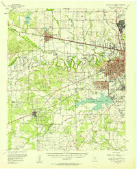
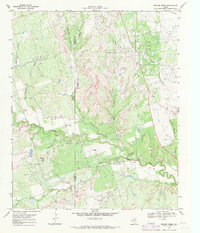
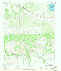
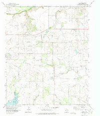
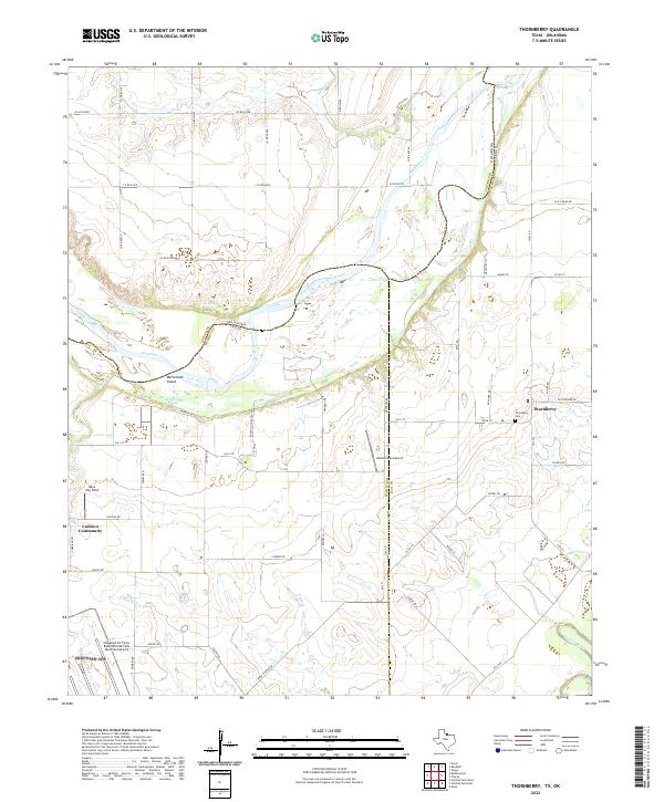
The Red River marks the winding border between Texas and Oklahoma on this early 1970s survey, defining a landscape of active extraction and aviation. Just south of the river, the Texhoma Oil Field and Thornberry Oil Field dominate the terrain, evidenced by a dense network of oil wells and pipelines. In the south-west, the edge of Sheppard Air Force Base transitions into the rural community of Thornberry, where a small Cem and local storage tanks anchor the settlement near Rat Road.
Find a feature on this map
27 named features on this map. Tap any name to fly to it.
Don’t see what you’re looking for? This feature index may not catch every label — zoom into the map to look around manually.
Map Details
Editions of this 1972 Thornberry Map
This is the sole edition of this map. No revisions or reprints were ever made.
Historical Maps of Cashion Community Through Time
53 maps found
1915 Barwise School
Wichita County, TX

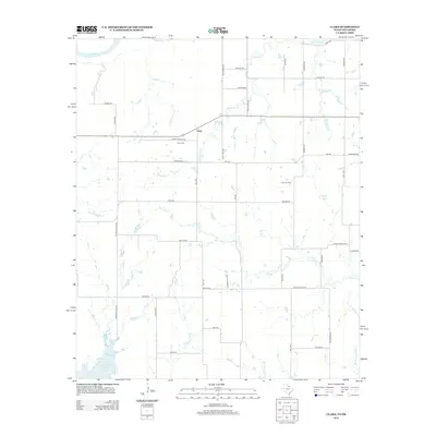
1915 Clara
Wichita County, TX
1916 Fowlkes
Wichita County, TX
1917 Beaver Creek
Wichita County, TX
1918 Barwise School
Wichita County, TX
1918 Clara
Wichita County, TX
1919 Fowlkes
Wichita County, TX

1920 Beaver Creek
Wichita County, TX
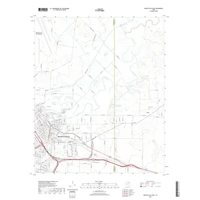
1957 Wichita Falls East
Wichita County, TX
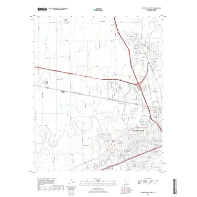
1957 Wichita Falls West
Wichita County, TX
1957 Wichita Falls West
Wichita County, TX
1968 Beaver Creek
Wichita County, TX
1968 Fowlkes
Wichita County, TX
1972 Clara
Wichita County, TX
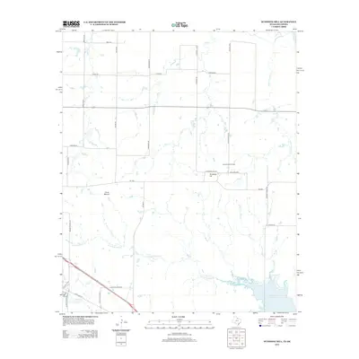
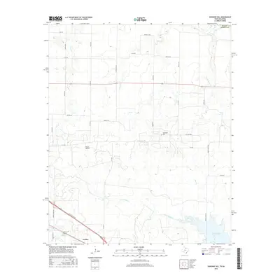
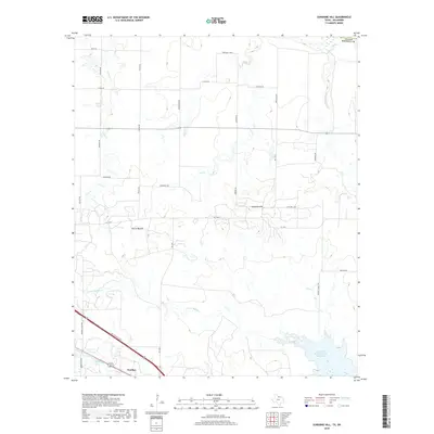
1972 Sunshine Hill
Wichita County, TX
1972 Thornberry
Wichita County, TX
1972 Wichita Falls East
Wichita County, TX
1972 Wichita Falls West
Wichita County, TX
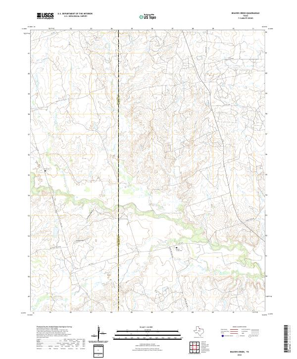
2010 Beaver Creek
Wichita County, TX
2010 Fowlkes
Wichita County, TX
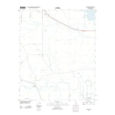
2010 Thornberry
Wichita County, TX
2010 Wichita Falls East
Wichita County, TX
2010 Wichita Falls West
Wichita County, TX
2011 Clara
Wichita County, TX
2011 Sunshine Hill
Wichita County, TX
2012 Beaver Creek
Wichita County, TX
2012 Clara
Wichita County, TX
2012 Sunshine Hill
Wichita County, TX
2012 Thornberry
Wichita County, TX
2013 Fowlkes
Wichita County, TX
2013 Wichita Falls East
Wichita County, TX
2013 Wichita Falls West
Wichita County, TX
2016 Beaver Creek
Wichita County, TX
2016 Clara
Wichita County, TX
2016 Fowlkes
Wichita County, TX
2016 Sunshine Hill
Wichita County, TX
2016 Thornberry
Wichita County, TX
2016 Wichita Falls East
Wichita County, TX
2016 Wichita Falls West
Wichita County, TX
2019 Beaver Creek
Wichita County, TX
2019 Clara
Wichita County, TX
2019 Fowlkes
Wichita County, TX
2019 Sunshine Hill
Wichita County, TX
2019 Thornberry
Wichita County, TX
2019 Wichita Falls East
Wichita County, TX
2019 Wichita Falls West
Wichita County, TX
2022 Beaver Creek
Wichita County, TX
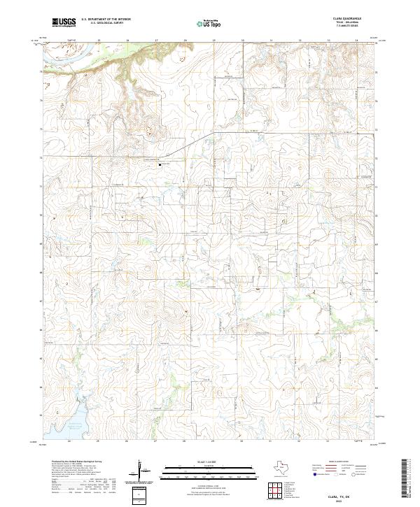
2022 Clara
Wichita County, TX
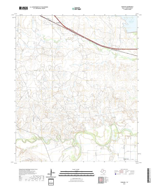
2022 Fowlkes
Wichita County, TX
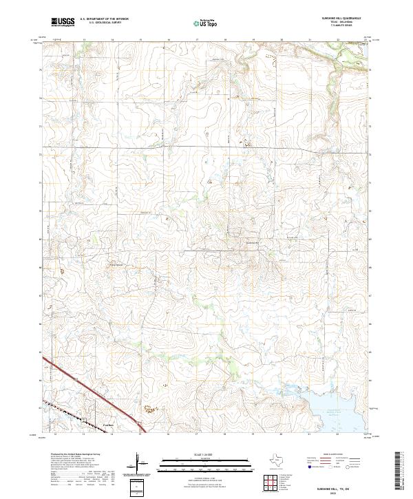
2022 Sunshine Hill
Wichita County, TX
2022 Thornberry
Wichita County, TX
2022 Wichita Falls East
Wichita County, TX
2022 Wichita Falls West
Wichita County, TX