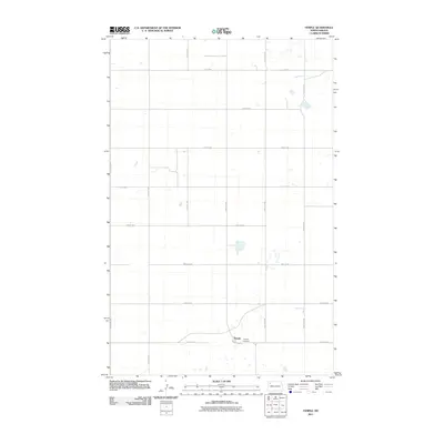
2011 Map of Temple
USGS Topo · Published 2011About this map
Temple stands at the heart of this Williams County landscape, a small settlement defined by its grid of rural section roads and proximity to the Temple Cemetery. The surrounding terrain is organized into a precise rectilinear network of avenues and streets, such as 113th Ave NW and 74th St NW, reflecting the enduring township-and-range surveying system of the northern plains. This early 21st-century documentation by the U.S. Geological Survey shows the area's transition from traditional prairie to a more modern infrastructure, centered on the corridor of County Hwy 19. Small depressions and water bodies are scattered across the landscape, punctuating the agricultural fields that dominate the territory south of the Divide.
Find a feature on this map
17 named features on this map. Tap any name to fly to it.
Don’t see what you’re looking for? This feature index may not catch every label — zoom into the map to look around manually.
Map Details
Editions of this 2011 Temple Map
This is the sole edition of this map. No revisions or reprints were ever made.
Other maps of this area

1911 · Ray
USGS Topo · 1:125,000

1953 · Williston
USGS Topo · 1:250,000

1957 · Williston
USGS Topo · 1:250,000

1974 · Tom Berg Lake
USGS Topo · 1:24,000

1974 · McGregor
USGS Topo · 1:24,000

1974 · Big Meadow
USGS Topo · 1:24,000

1978 · Ray
USGS Topo · 1:24,000

1978 · Ray SE
USGS Topo · 1:24,000

1978 · Temple
USGS Topo · 1:24,000

1978 · Ray NW
USGS Topo · 1:24,000