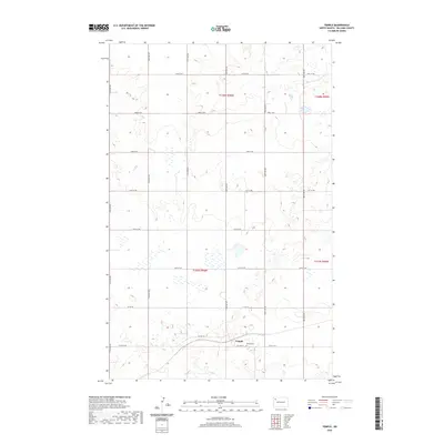
2020 Map of Temple
USGS Topo · Published 2020About this map
The small settlement of Temple is the central feature of this western North Dakota landscape, situated along a network of prairie roads. The town is marked by the presence of the Temple Cem, a significant site for local family historians and genealogists researching the Williams County area. The terrain is defined by a grid of agricultural section lines, including Co Hwy 19 and Co Hwy 10, which provide access to the vast stretches of open land and seasonal wetlands scattered throughout the township boundaries. This survey documents the intersection of rural infrastructure and the natural prairie environment, illustrating how the township and range system has shaped the human footprint on the land.
Find a feature on this map
16 named features on this map. Tap any name to fly to it.
Don’t see what you’re looking for? This feature index may not catch every label — zoom into the map to look around manually.
Map Details
Editions of this 2020 Temple Map
This is the sole edition of this map. No revisions or reprints were ever made.
Other maps of this area

1911 · Ray
USGS Topo · 1:125,000

1953 · Williston
USGS Topo · 1:250,000

1957 · Williston
USGS Topo · 1:250,000

1974 · Tom Berg Lake
USGS Topo · 1:24,000

1974 · McGregor
USGS Topo · 1:24,000

1974 · Big Meadow
USGS Topo · 1:24,000

1978 · Ray
USGS Topo · 1:24,000

1978 · Ray SE
USGS Topo · 1:24,000

1978 · Temple
USGS Topo · 1:24,000

1978 · Ray NW
USGS Topo · 1:24,000