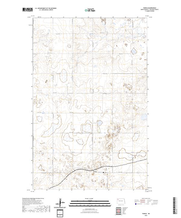
2024 Map of Temple
USGS Topo · Published 2024About this map
Temple is the central settlement in this North Dakota landscape, situated along the intersection of Co Hwy 10 and Co Hwy 19. The map shows a classic township grid of the northern plains, where section lines are defined by numerical roads like 74th St NW and 113th Ave NW. This geometry reflects the enduring influence of the Public Land Survey System on the region's development. Just east of the townsite lies the Temple Cem, providing a focal point for genealogical research in this part of Williams County. The surrounding terrain is punctuated by small prairie potholes and wetlands typical of the Missouri Plateau, with the survey capturing the subtle drainage patterns that shape the local agricultural layout.
Find a feature on this map
22 named features on this map. Tap any name to fly to it.
Don’t see what you’re looking for? This feature index may not catch every label — zoom into the map to look around manually.
Map Details
Editions of this 2024 Temple Map
This is the sole edition of this map. No revisions or reprints were ever made.
Other maps of this area

1911 · Ray
USGS Topo · 1:125,000

1953 · Williston
USGS Topo · 1:250,000

1957 · Williston
USGS Topo · 1:250,000

1974 · Tom Berg Lake
USGS Topo · 1:24,000

1974 · McGregor
USGS Topo · 1:24,000

1974 · Big Meadow
USGS Topo · 1:24,000

1978 · Ray
USGS Topo · 1:24,000

1978 · Ray SE
USGS Topo · 1:24,000

1978 · Temple
USGS Topo · 1:24,000

1978 · Ray NW
USGS Topo · 1:24,000