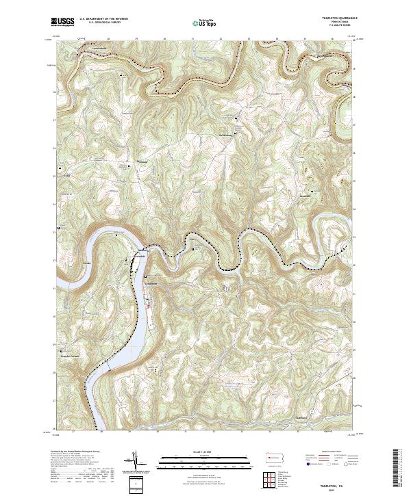
2023 Map of Templeton
USGS Topo · Published 2023About this map
Stewardson Furnace stands as a central historical marker in this landscape where the Allegheny River and Mahoning Creek converge. The terrain is defined by the sharp meanders of Redbank Creek along the northern border, where the communities of Lawsonham, Saint Charles, and Climax follow the water's edge. This region of Armstrong County is heavily dotted with family and church burial grounds, such as Duncan Cem, Narrows Cem, and the Widnoon Methodist Cem, suggesting a long-standing pattern of rural settlement. The presence of the Redbank Valley Trl near the railroad tracks highlights the transition of old industrial corridors into modern pathways. Further south, the map reveals a network of small hamlets like Templeton, Widnoon, and Kellersburg, connected by winding roads that traverse the high ground between the river valleys and smaller tributaries like Wiskey Creek.
Find a feature on this map
136 named features on this map. Tap any name to fly to it.
Don’t see what you’re looking for? This feature index may not catch every label — zoom into the map to look around manually.
Map Details
Editions of this 2023 Templeton Map
This is the sole edition of this map. No revisions or reprints were ever made.
Other maps of this area

1900 · Kittanning
USGS Topo · 1:62,500

1901 · Rural Valley
USGS Topo · 1:62,500

1902 · Kittanning
USGS Topo · 1:62,500

1903 · Rural Valley
USGS Topo · 1:62,500

1906 · Clarion
USGS Topo · 1:62,500

1907 · Clarion
USGS Topo · 1:62,500

1907 · Foxburg
USGS Topo · 1:62,500

1908 · Foxburg
USGS Topo · 1:62,500

1953 · Pittsburgh
USGS Topo · 1:250,000

1954 · Pittsburgh
USGS Topo · 1:250,000