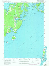
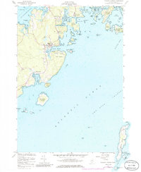
1955 Map of Tenants Harbor
USGS Topo · Published 1974About this map
Tenants Harbor serves as the focal point of this coastal survey, showcasing a protected maritime settlement defined by its narrow inlets and jagged granite peninsulas. The village is flanked by essential community landmarks such as Seaside Cem and Hillside Cem, while Martinsville and Elmore represent smaller clusters of settlement along the winding coastal roads. This mid-century view captures the transition of the Maine coast, where traditional industry like the Borrow Pit and maritime infrastructure coexist with early residential growth. Beyond the mainland, the map details a complex archipelago including Clark Island, Rackliff Island, and the more distant Metinic Island. Navigational features are prominent, from the Lighthouse on Southern Island to the U S Coast Guard Res on Whitehead Island, marking the hazardous approaches of Two Bush Channel and Muscle Ridge Channel.
Find a feature on this map
63 named features on this map. Tap any name to fly to it.
Don’t see what you’re looking for? This feature index may not catch every label — zoom into the map to look around manually.
Map Details
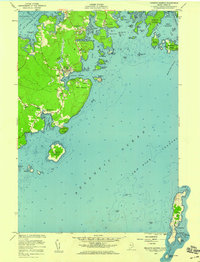
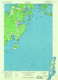
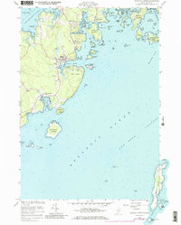
Editions of this 1955 Tenants Harbor Map
5 editions found
Other maps of this area

1904 · Monhegan
USGS Topo · 1:62,500

1904 · Tenants Harbor
USGS Topo · 1:62,500

1904 · Rockland
USGS Topo · 1:62,500

1906 · Tennant Harbor
USGS Topo · 1:62,500

1906 · Monhegan
USGS Topo · 1:62,500

1906 · Rockland
USGS Topo · 1:62,500

1913 · Waldoboro
USGS Topo · 1:48,000

1915 · Waldoboro
USGS Topo · 1:62,500

1941 · Rockland
USGS Topo · 1:62,500

1941 · Waldoboro
USGS Topo · 1:62,500