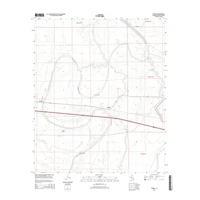
2015 Map of Tendal
USGS Topo · Published 2015About this map
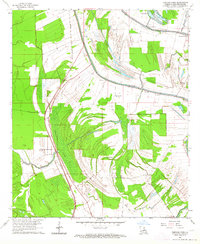
Quebec and Tendal anchor this Madison Parish landscape, where the meandering course of the Tensas River dictates the local geography. The area's agricultural identity is reinforced by numerous named arteries like Eldorado Plantation Rd and Bedgood Rd, which connect the rural settlements across the alluvial plain. Low-lying waterways and cutoffs, including Island Chute and Bayou Despair, lattice the terrain, illustrating the complex hydrography of the Louisiana delta.
Find a feature on this map
20 named features on this map. Tap any name to fly to it.
Don’t see what you’re looking for? This feature index may not catch every label — zoom into the map to look around manually.
Map Details
Editions of this 2015 Tendal Map
This is the sole edition of this map. No revisions or reprints were ever made.
Other maps of this area
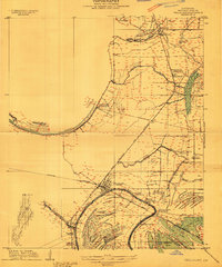
1909 · Tallulah
USGS Topo · 1:24,000
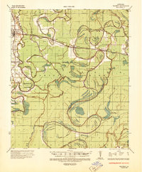
1935 · Waverly
USGS Topo · 1:62,500
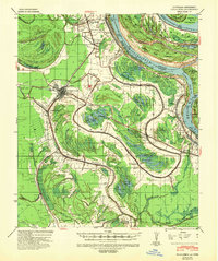
1939 · Talla Bena
USGS Topo · 1:62,500
1939 · Alsatia
USGS Topo · 1:62,500

1955 · Jackson
USGS Topo · 1:250,000
1959 · Mitchiner
USGS Topo · 1:62,500

1961 · Jackson
USGS Topo · 1:250,000
1961 · Waverly
USGS Topo · 1:62,500
1962 · Jackson
USGS Topo · 1:250,000
1963 · Fortune Fork
USGS Topo · 1:24,000