1959 Map of Mitchiner
USGS Topo · Published 1962About this map
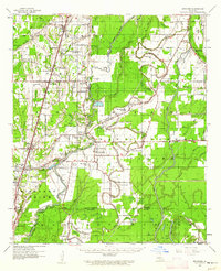
Poverty Pt stands as a focal point in this 1959 landscape, where ancient Indian Mounds are documented alongside a network of bayous and modern petroleum development. The terrain is defined by the winding course of Bayou Macon and Joes Bayou, which historically shaped settlement patterns from Pioneer down to Mitchiner and Warden. The presence of the South Epps Gas Field indicates the mid-century industrial shift in this part of Louisiana, while the Missouri Pacific Railroad provides the primary north-south transportation spine. Rural life is meticulously recorded through numerous community anchors, including the combined Magnolia Ch & Sch and family-named landmarks like Wilson Cem and Walnut Grove Cem. The map captures the complex drainage systems of the era, visible in labeled ditches and landings such as Jackson Ldg, reflecting a landscape deeply managed for agriculture and resource extraction.
Find a feature on this map
88 named features on this map. Tap any name to fly to it.
Don’t see what you’re looking for? This feature index may not catch every label — zoom into the map to look around manually.
Map Details
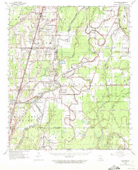
Editions of this 1959 Mitchiner Map
2 editions found
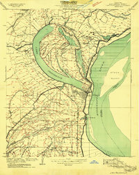
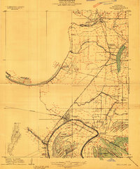
Other maps of this area

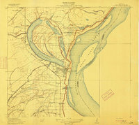
1909 · Baxter Bayou
USGS Topo · 1:24,000
1909 · Lake Providence
USGS Topo · 1:24,000
1909 · Tallulah
USGS Topo · 1:24,000
1911 · Lake Providence
USGS Topo · 1:31,680

1911 · Baxter Bayou
USGS Topo · 1:24,000

1914 · Baxter Bayou
USGS Topo · 1:31,680

1935 · Baskinton
USGS Topo · 1:62,500

1935 · Hurricane
USGS Topo · 1:62,500
1935 · Waverly
USGS Topo · 1:62,500
1935 · Oak Grove
USGS Topo · 1:62,500