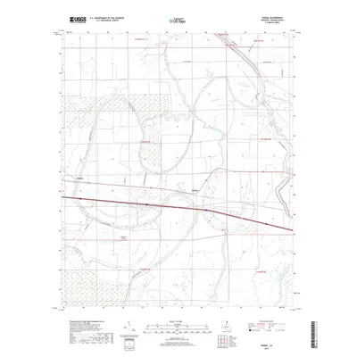
2018 Map of Tendal
USGS Topo · Published 2018About this map
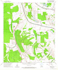
The Tensas River meanders through the heart of Madison Parish, defining a landscape of deep alluvial bends and agricultural tradition. The small communities of Tendal and Quebec serve as the primary hubs in this rural corridor, situated along the east-west transportation routes that cross the wetland-rich bottomlands. This 2018 survey reveals the intricate hydrography of the region, where numerous waterways like Tensas Bayou, Bayou Despair, and Roundaway Bayou weave between established land tracts. Evidence of the area's agrarian heritage is seen in labels like Eldorado Plantation Rd, reflecting the historical organization of large estates along the fertile riverbanks. Modern local infrastructure is represented by the 4B Ranch Airport, while more remote reaches are traced by Mothalgan Bayou and Mudd Bayou.
Find a feature on this map
27 named features on this map. Tap any name to fly to it.
Don’t see what you’re looking for? This feature index may not catch every label — zoom into the map to look around manually.
Map Details
Editions of this 2018 Tendal Map
This is the sole edition of this map. No revisions or reprints were ever made.
Other maps of this area
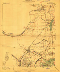
1909 · Tallulah
USGS Topo · 1:24,000
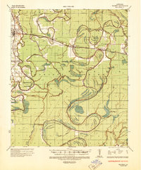
1935 · Waverly
USGS Topo · 1:62,500
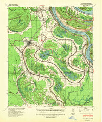
1939 · Talla Bena
USGS Topo · 1:62,500
1939 · Alsatia
USGS Topo · 1:62,500

1955 · Jackson
USGS Topo · 1:250,000
1959 · Mitchiner
USGS Topo · 1:62,500

1961 · Jackson
USGS Topo · 1:250,000
1961 · Waverly
USGS Topo · 1:62,500
1962 · Jackson
USGS Topo · 1:250,000
1963 · Fortune Fork
USGS Topo · 1:24,000