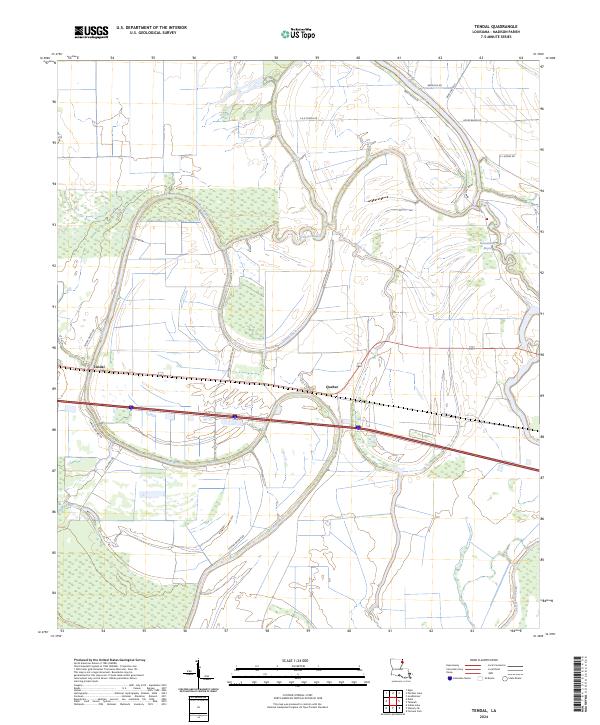
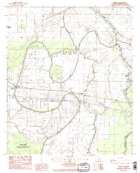
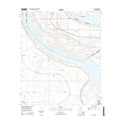
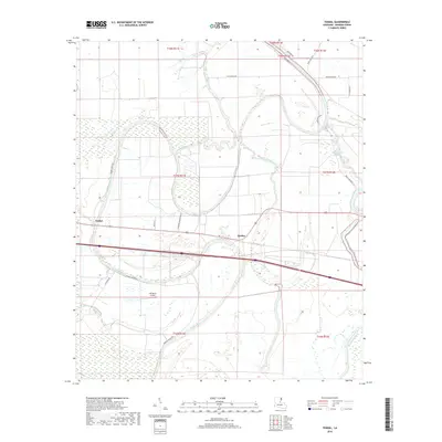
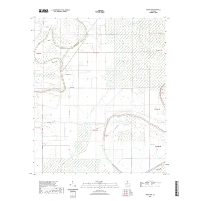
2024 Map of Tendal
USGS Topo · Published 2024About this map
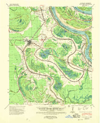
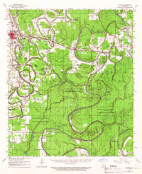
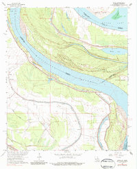
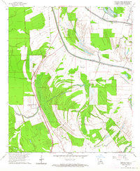
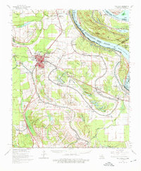
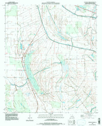
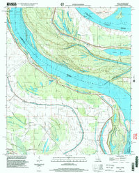
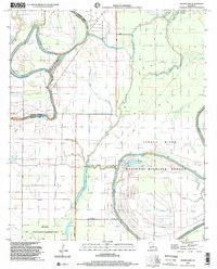
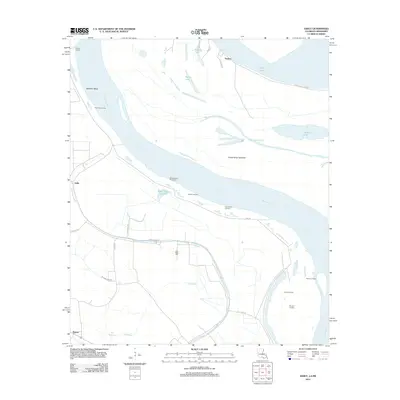
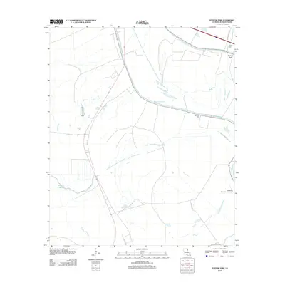
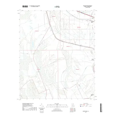
The Tensas River meanders through the alluvial landscape of Madison Parish, creating a complex network of waterways that define the region's geography. This contemporary survey captures the winding courses of Tensas Bayou, Island Chute, and the evocatively named Bayou Despair. The presence of the Tensas River National Wildlife Refuge underscores the ecological significance of this bottomland hardwood environment.
Find a feature on this map
26 named features on this map. Tap any name to fly to it.
Don’t see what you’re looking for? This feature index may not catch every label — zoom into the map to look around manually.
Map Details
Editions of this 2024 Tendal Map
This is the sole edition of this map. No revisions or reprints were ever made.
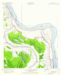
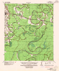
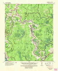
Historical Maps of Quebec Through Time
39 maps found
1909 Millikens Bend
Madison Parish, LA
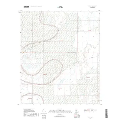
1935 Waverly
Madison Parish, LA
1939 Onward
Madison Parish, LA
1939 Talla Bena
Madison Parish, LA
1961 Waverly
Madison Parish, LA
1963 Ashly
Madison Parish, LA
1963 Fortune Fork
Madison Parish, LA
1965 Talla Bena
Madison Parish, LA
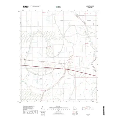
1986 Tendal
Madison Parish, LA
1987 Indian Lake
Madison Parish, LA
1987 Waverly SE
Madison Parish, LA
1994 Fortune Fork
Madison Parish, LA
1998 Ashly
Madison Parish, LA
1998 Indian Lake
Madison Parish, LA
2012 Ashly
Madison Parish, LA
2012 Fortune Fork
Madison Parish, LA
2012 Indian Lake
Madison Parish, LA
2012 Tendal
Madison Parish, LA
2012 Waverly SE
Madison Parish, LA
2015 Ashly
Madison Parish, LA
2015 Fortune Fork
Madison Parish, LA
2015 Indian Lake
Madison Parish, LA
2015 Tendal
Madison Parish, LA
2015 Waverly SE
Madison Parish, LA
2018 Ashly
Madison Parish, LA
2018 Fortune Fork
Madison Parish, LA
2018 Indian Lake
Madison Parish, LA
2018 Tendal
Madison Parish, LA
2018 Waverly SE
Madison Parish, LA
2020 Ashly
Madison Parish, LA
2020 Fortune Fork
Madison Parish, LA
2020 Indian Lake
Madison Parish, LA
2020 Tendal
Madison Parish, LA
2020 Waverly SE
Madison Parish, LA
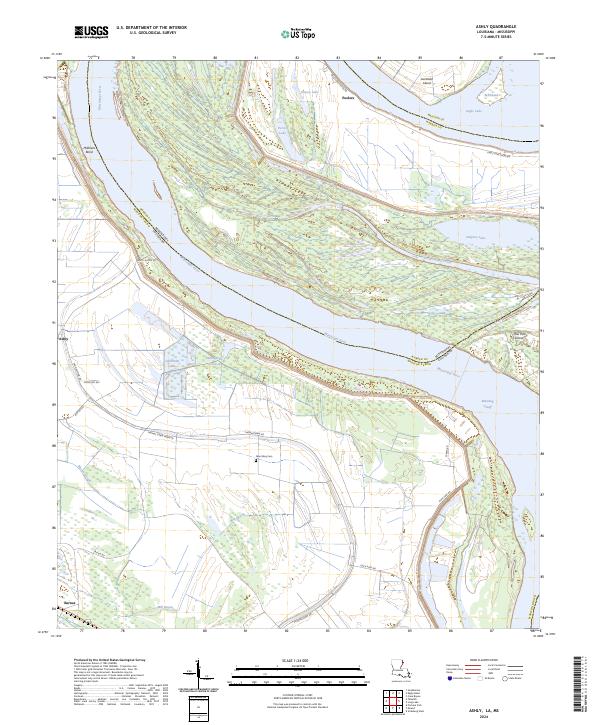
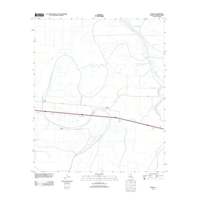
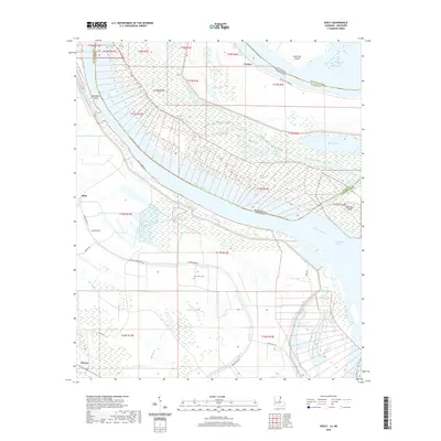
2024 Ashly
Madison Parish, LA
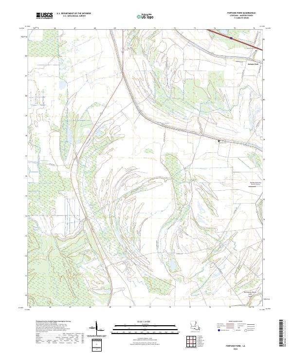
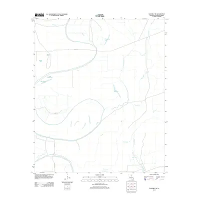
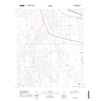
2024 Fortune Fork
Madison Parish, LA
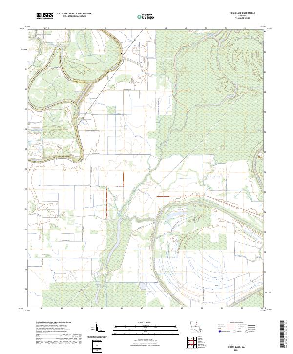
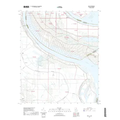
2024 Indian Lake
Madison Parish, LA
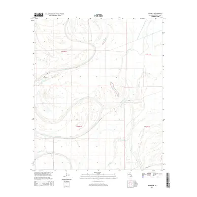
2024 Tendal
Madison Parish, LA
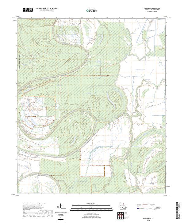
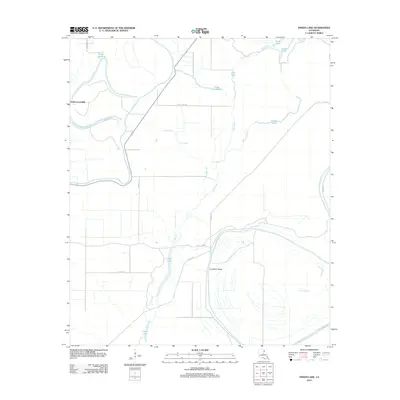
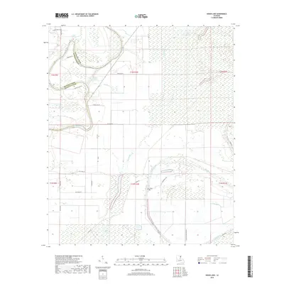
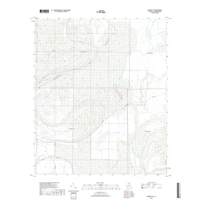
2024 Waverly SE
Madison Parish, LA