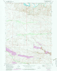
1971 Map of Tenmile Spring
USGS Topo · Published 1983About this map
Medicine Bow River currents and the expansive Seminoe Reservoir define the northern landscape of this Carbon County region. The topography transitions from the broken terrain of the Medicine Bow Breaks into a heavy industrial zone to the south, dominated by extensive energy extraction. Revisions from 1980 highlight the rapid expansion of the Strip Mine operations and the associated Conveyor systems that cut through the high desert.
Find a feature on this map
18 named features on this map. Tap any name to fly to it.
Don’t see what you’re looking for? This feature index may not catch every label — zoom into the map to look around manually.
Map Details
Editions of this 1971 Tenmile Spring Map
2 editions found
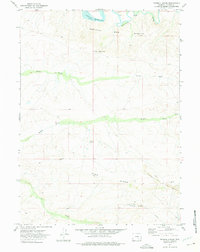
Other maps of this area

1893 · Fort Steele
USGS Topo · 1:125,000

1914 · Hanna
USGS Topo · 1:62,500

1914 · Walcott
USGS Topo · 1:62,500

1953 · Seminoe Dam SE
USGS Topo · 1:24,000

1953 · Schneider Ridge
USGS Topo · 1:24,000

1953 · T E Ranch
USGS Topo · 1:24,000

1954 · Rawlins
USGS Topo · 1:250,000

1955 · Casper
USGS Topo · 1:250,000

1958 · Rawlins
USGS Topo · 1:250,000

1958 · Casper
USGS Topo · 1:250,000