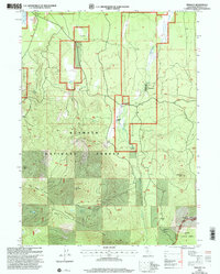
2001 Map of Tennant
USGS Topo · Published 2004About this map
Tennant stands as a focal point of human activity in this Siskiyou County landscape, which transitions from the flat expanse of Pollic Flat in the north toward the high elevations of the south. The mapping reflects a region defined by its role in forestry and resource management, spanning both the Klamath National Forest and Shasta National Forest. Infrastructure like the Landing Strip and a Gaging Station on Antelope Creek suggest the logistical requirements of managing these timberlands at the start of the 21st century. High-altitude landmarks such as Haight Mountain and Picadilly Ridge provide a vertical contrast to the valley settlements. For those researching local history, the location of the Cem near the town center and the Ken Del Ranch offer specific points of interest regarding the community's established footprint.
Find a feature on this map
28 named features on this map. Tap any name to fly to it.
Don’t see what you’re looking for? This feature index may not catch every label — zoom into the map to look around manually.
Map Details
Editions of this 2001 Tennant Map
2 editions found
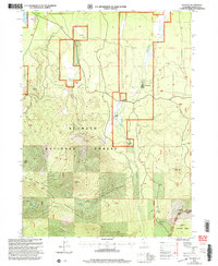
Other maps of this area

1886 · Modoc Lava Bed
USGS Topo · 1:250,000

1886 · Shasta
USGS Topo · 1:250,000

1892 · Modoc Lava-Bed
USGS Topo · 1:250,000

1894 · Shasta
USGS Topo · 1:250,000

1932 · Bartle
USGS Topo · 1:96,000

1934 · Macdoel
USGS Topo · 1:96,000

1935 · Dunsmuir
USGS Topo · 1:125,000

1939 · Bartle
USGS Topo · 1:125,000

1941 · Macdoel
USGS Topo · 1:125,000

1948 · Weed
USGS Topo · 1:250,000