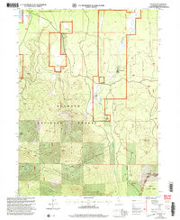
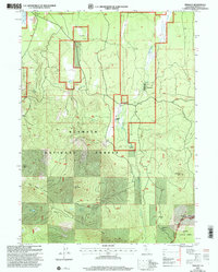
2001 Map of Tennant
USGS Topo · Published 2004About this map
Tennant stands as the primary settlement in this high-elevation landscape of Siskiyou County, situated along the Antelope Creek drainage. The 2001 revision by the Forest Service reveals a working landscape where timber and ranching history converge. Features like the Landing Strip and Ken Del Ranch suggest the specialized infrastructure required for this remote section of the Klamath National Forest.
Find a feature on this map
28 named features on this map. Tap any name to fly to it.
Don’t see what you’re looking for? This feature index may not catch every label — zoom into the map to look around manually.
Map Details
Editions of this 2001 Tennant Map
2 editions found
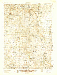
Other maps of this area

1886 · Modoc Lava Bed
USGS Topo · 1:250,000

1886 · Shasta
USGS Topo · 1:250,000

1892 · Modoc Lava-Bed
USGS Topo · 1:250,000

1894 · Shasta
USGS Topo · 1:250,000

1932 · Bartle
USGS Topo · 1:96,000
1934 · Macdoel
USGS Topo · 1:96,000

1935 · Dunsmuir
USGS Topo · 1:125,000

1939 · Bartle
USGS Topo · 1:125,000
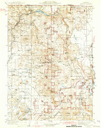
1941 · Macdoel
USGS Topo · 1:125,000

1948 · Weed
USGS Topo · 1:250,000