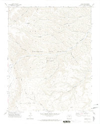
1971 Map of Tercio
USGS Topo · Published 1974About this map
The coal-mining settlement of Tercio sits at the base of the Ute Hills within the massive historical tract known as the Beaubien and Miranda (Maxwell Grant). During the early 1970s, the landscape here remained heavily defined by its industrial past, specifically the coal operations of the Tercio Mine and Vega Mine located along Quatro Creek. The topography is etched with numerous deep drainages such as Apache Canyon and Alamosito Canyon, which feed into the South Fork Purgatoire River. The transportation network is notably historical, featuring an Old Railroad Grade that once served the mines and a series of Jeep Trails providing access to remote landmarks like the Drill Hole. Water management for this arid landscape is evident in the Rincon Ditch and small catchments like Dead Horse Lake and Bingham Lake.
Find a feature on this map
28 named features on this map. Tap any name to fly to it.
Don’t see what you’re looking for? This feature index may not catch every label — zoom into the map to look around manually.
Map Details
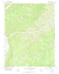
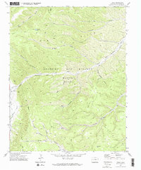
Editions of this 1971 Tercio Map
3 editions found
Other maps of this area

1891 · Spanish Peaks
USGS Topo · 1:125,000

1893 · Spanish Peaks
USGS Topo · 1:125,000

1895 · Spanish Peaks
USGS Topo · 1:125,000

1897 · Spanish Peaks
USGS Topo · 1:125,000

1900 · Spanish Peaks
USGS Topo · 1:125,000

1954 · Raton
USGS Topo · 1:250,000

1954 · Trinidad
USGS Topo · 1:250,000

1955 · Trinidad
USGS Topo · 1:250,000

1958 · Raton
USGS Topo · 1:250,000

1958 · Trinidad
USGS Topo · 1:250,000