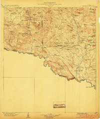
1904 Map of Terlingua
USGS Topo · Published 1904About this map
Terlingua and the surrounding Chihuahuan Desert landscape are captured here during a pivotal era of mercury mining and ranching. This cooperative survey between the U.S. Geological Survey and the University of Texas Mineral Survey highlights the industrial activity of the period, specifically at the Colquitt-Tigner Mine and Mc Kinney-Parker Mine. The terrain is defined by the massive circular geological formation of the Solitario and the dramatic course of the Rio Grande, which carves the Grand Canyon of Santa Helena along the border with Mexico.
Find a feature on this map
95 named features on this map. Tap any name to fly to it.
Don’t see what you’re looking for? This feature index may not catch every label — zoom into the map to look around manually.
Map Details
Editions of this 1904 Terlingua Map
5 editions found
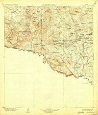
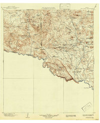
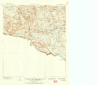
Other maps of this area

1896 · Polvo
USGS Topo · 1:125,000

1896 · Shafter
USGS Topo · 1:125,000

1903 · Chisos Mountains
USGS Topo · 1:125,000

1903 · Terlingua
USGS Topo · 1:125,000

1904 · Terlingua
USGS Topo · 1:125,000

1905 · Chisos Mountains
USGS Topo · 1:125,000

1917 · Agua Fria
USGS Topo · 1:62,500

1917 · Tascotal Mesa
USGS Topo · 1:62,500

1918 · Bone Spring
USGS Topo · 1:125,000

1918 · Nine Point Mesa
USGS Topo · 1:62,500