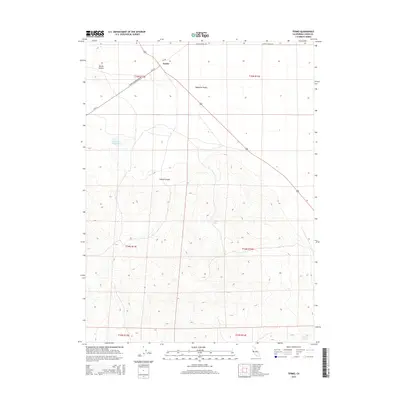
2015 Map of Termo
USGS Topo · Published 2015About this map
Termo sits at a critical junction in the high desert of Lassen County, where the iron-straight corridor of the railway meets a network of ranching roads. The settlement is defined by its position on the northern edge of the Madeline Plains, a vast, flat expanse that contrasts sharply with the prominent Termo Buttes to the northwest. This landscape illustrates the intersection of industrial transport and natural water sources, with vital points like Tunnel Spring and Fleming Spring scattered among the draws and canyons.
Find a feature on this map
17 named features on this map. Tap any name to fly to it.
Don’t see what you’re looking for? This feature index may not catch every label — zoom into the map to look around manually.
Map Details
Editions of this 2015 Termo Map
This is the sole edition of this map. No revisions or reprints were ever made.
Other maps of this area
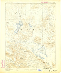
1886 · Honey Lake
USGS Topo · 1:250,000
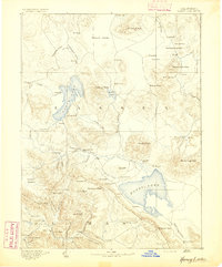
1891 · Honey Lake
USGS Topo · 1:250,000
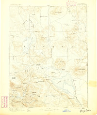
1893 · Honey Lake
USGS Topo · 1:250,000
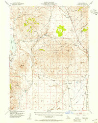
1954 · Karlo
USGS Topo · 1:62,500
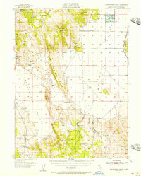
1954 · Grasshopper Valley
USGS Topo · 1:62,500
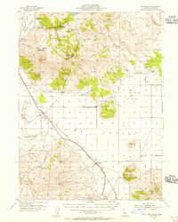
1954 · Ravendale
USGS Topo · 1:62,500
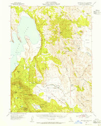
1954 · Fredonyer Peak
USGS Topo · 1:62,500
1955 · Westwood
USGS Topo · 1:250,000
1958 · Westwood
USGS Topo · 1:250,000
1959 · Westwood
USGS Topo · 1:250,000