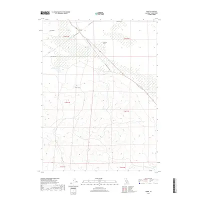
2018 Map of Termo
USGS Topo · Published 2018About this map
Termo sits at the junction of High Desert trails and an old rail corridor in this 2018 survey of Lassen County. The settlement is positioned near the Termo Grasshopper Rd, marking a point of transition between the expansive Madeline Plains and the rising elevations of the Termo Buttes. A significant portion of the landscape is defined by the LLTT Modoc Line Rail Trail, which traces the path of a former railroad through the sagebrush and volcanic terrain. Water sources are critical in this arid environment, evidenced by labels for Ducasse Reservoir, Tunnel Spring, and Fleming Spring. Local transport is recorded through rural routes such as Stone Chimney Rd and Juniper Ridge Rd, while the southern portion of the map is dominated by the steep contours of Schott Canyon.
Find a feature on this map
19 named features on this map. Tap any name to fly to it.
Don’t see what you’re looking for? This feature index may not catch every label — zoom into the map to look around manually.
Map Details
Editions of this 2018 Termo Map
This is the sole edition of this map. No revisions or reprints were ever made.
Other maps of this area
1886 · Honey Lake
USGS Topo · 1:250,000
1891 · Honey Lake
USGS Topo · 1:250,000
1893 · Honey Lake
USGS Topo · 1:250,000
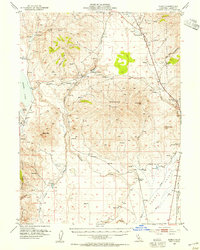
1954 · Karlo
USGS Topo · 1:62,500
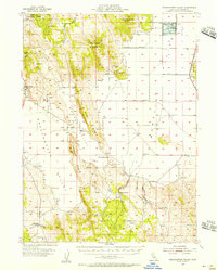
1954 · Grasshopper Valley
USGS Topo · 1:62,500
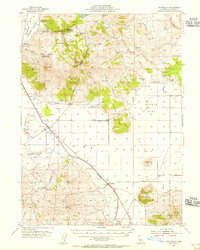
1954 · Ravendale
USGS Topo · 1:62,500
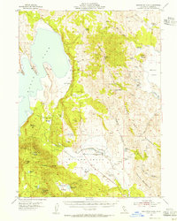
1954 · Fredonyer Peak
USGS Topo · 1:62,500
1955 · Westwood
USGS Topo · 1:250,000
1958 · Westwood
USGS Topo · 1:250,000
1959 · Westwood
USGS Topo · 1:250,000