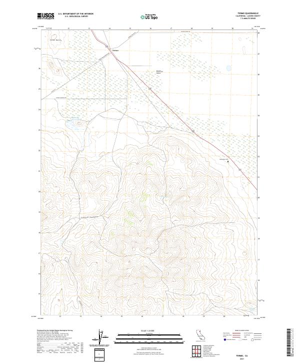
2021 Map of Termo
USGS Topo · Published 2021About this map
Termo sits at the junction of the high desert and mountain foothills in this northeastern California landscape. The settlement serves as a focal point for a network of remote corridors including Termo Grasshopper Rd and Stone Chimney Rd, which traverse the expansive Madeline Plains. To the west, the volcanic character of the region is evident in the Termo Buttes and the steep walls of Schott Canyon. Water management is essential in this arid environment, marked by the Ducasse Reservoir and isolated water sources like Tunnel Spring and Fleming Spring. The inclusion of the Ravendale Cem near the eastern margin provides a tangible link for genealogists tracing families in this corner of Lassen County.
Find a feature on this map
19 named features on this map. Tap any name to fly to it.
Don’t see what you’re looking for? This feature index may not catch every label — zoom into the map to look around manually.
Map Details
Editions of this 2021 Termo Map
This is the sole edition of this map. No revisions or reprints were ever made.
Other maps of this area

1886 · Honey Lake
USGS Topo · 1:250,000

1891 · Honey Lake
USGS Topo · 1:250,000

1893 · Honey Lake
USGS Topo · 1:250,000

1954 · Karlo
USGS Topo · 1:62,500

1954 · Grasshopper Valley
USGS Topo · 1:62,500

1954 · Ravendale
USGS Topo · 1:62,500

1954 · Fredonyer Peak
USGS Topo · 1:62,500

1955 · Westwood
USGS Topo · 1:250,000

1958 · Westwood
USGS Topo · 1:250,000

1959 · Westwood
USGS Topo · 1:250,000