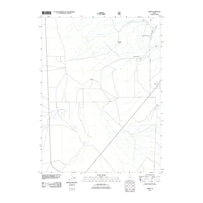
2011 Map of Terra
USGS Topo · Published 2011About this map
Terra stands as the primary settlement in this corner of Tooele County, situated at the intersection of local routes including Hatch Ranch Rd and Redding Rd. The landscape is defined by a series of family-named agricultural and livestock holdings, such as Condie Ranch, Orr Ranch, and Hatch Ranch, which suggest a long-standing ranching economy dependent on the area's scattered water sources. Vital water features like Big Spring, Cold Spring, and the Willow Patch Springs emerge from the terrain to feed drainages like Spring Creek and Barlow Creek. The topography transitions from the open flats near Skull Valley Rd toward more complex landforms such as Deadman Canyon, Condie Meadows, and Barlow Hollow, illustrating the essential relationship between reliable spring water and the viability of high-desert ranching.
Find a feature on this map
18 named features on this map. Tap any name to fly to it.
Don’t see what you’re looking for? This feature index may not catch every label — zoom into the map to look around manually.
Map Details
Editions of this 2011 Terra Map
This is the sole edition of this map. No revisions or reprints were ever made.
Other maps of this area

1885 · Tooele Valley
USGS Topo · 1:250,000

1953 · Tooele
USGS Topo · 1:250,000

1955 · Tabbys Peak SE
USGS Topo · 1:24,000

1955 · Camels Back Ridge NE
USGS Topo · 1:24,000

1955 · Davis Knolls
USGS Topo · 1:24,000

1955 · Deseret Peak
USGS Topo · 1:62,500

1955 · Tooele
USGS Topo · 1:250,000

1971 · Onaqui Mts South
USGS Topo · 1:24,000

1973 · Hickman Knolls
USGS Topo · 1:24,000

1979 · Rush Valley
USGS Topo · 1:100,000